page search

IssuescadastresLandLibrary Resource
Displaying 2785 - 2796 of 2807

Weak Land Governance, Fraud and Corruption: Fertile Ground for Land Grabbing

Reports & Research
November, 2021
Brazil

Fraud and corruption are the main enabling mechanisms for land abuses in Brazil, guaranteeing impunity for land grabbers and other public and private agents involved in these schemes. This is what is evidenced in the research report, “Weak land governance, fraud and corruption: fertile ground for land grabbing,” which systematizes for the first time the relationship between these issues. Thereby, the study seeks to understand precisely why and how corruption and fraud associated with land grabbing occur.  

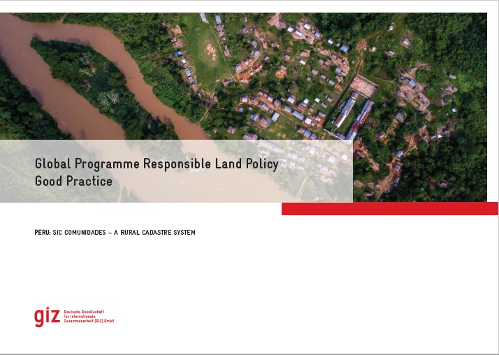
Good Practice Peru: SIC Comunidades - a Rural Cadastre System

Institutional & promotional materials
November, 2021
Latin America and the Caribbean
South America
Peru

The Global Programme 'Responsible Land Policy' (GPRLP) is part of the Special Initiative 'One World, No Hunger' of the German Federal Ministry for Economic Cooperation and Development (BMZ), which aims to reduce extreme poverty and hunger.


In Peru, ProTierras Comunales (PTC), as part of the Global Programme, aims to improve the access to land and natural resources for native communities in the Peruvian Amazon, in the regions Ucayali and San Martín. A functional and regularly updated digital cadastre system was created to improve the land titling system.


Land Ownership and the Development of the Land Market in Georgia

Reports & Research
November, 2013
Georgia

This report was produced by a private consultant Alexander Gvaramia a legal expert on land laws and issues and a member of the Swiss Development Cooperation funded Mercy Corps Georgia implemented Alliances Kvemo Kartli Programme, Helen Bradbury, a market development programme working in the dairy, beef and sheep value chains in Dmanisi, Tetritskaro and Tsalka municipalities of Kevmo Kartli. The International Centre for Conflict Negotiation (ICCN) a partner of Alliances KK was responsible for facilitating the concept and production of the report.

Geoinformation Technologies in Land Management and Beyond: Case of Georgia

Conference Papers & Reports
September, 2006
Georgia

Introduction of geoinformation technologies for building up a modern land management system in Georgia goes back to mid-1990s. This has been stimulated by start of land reform resulting in privatization of over 3 million agricultural land plots in whole in the entire country. These new properties were to be properly surveyed, registered and recorded in a newly established cadastral system with the aim of launching free market transactions.

Land Administration Review: Armenia

Reports & Research
September, 2001
Armenia

At its sixty-first session in September 2000, the ECE Committee on Human Settlements accepted the proposal of the Bureau of the Working Party on Land Administration to provide expert assistance to Armenia on land administration issues (ECE/HBP/119, annex I, programme element “Land registration and land markets”). Security of tenure is one of the most important factors in fighting poverty and stabilizing communities by improving housing conditions through housing investments, reducing social exclusion, improving access to urban services, environment and safety in urban areas.

Land Registration: Global Practices and Lessons for India

Journal Articles & Books
June, 2019
United States of America
India
United Kingdom
France
Germany
Netherlands
Australia

Land Registration: Global Practices and Lessons for India has been authored by B. K. Agarwal,  having extensive knowledge and first-hand experience in land administration. It contains a comparative analysis of land registration systems of Germany, UK, Australia, USA, France, and the Netherlands.​ Laws regarding maintenance of land title records in four Indian states Maharashtra, Karnataka, Punjab, and West Bengal have also been analyzed. In the end the author has given his  evidence-based recommendations on reforms required in the Indian land registration system.​

State of Land Information in Botswana

Reports & Research
July, 2023
Botswana

This State of Land Information (SOLI) report is an analysis of the current state of land data in Botswana, assessing the availability of land information and the compliance of this information with open data standards. 

The aim of this report is to serve as a diagnostic for the land information ecosystem in Botswana and enable targeted interventions for improved information management.

The role of metadata and open data in the innovation cycle of land administration

Reports & Research
March, 2023
Global

This publication discusses the importance of open data as a tool for inclusive land governance. It introduces and describes open data, land governance functions, and metadata. It provides an in-depth looks at AGROVOC, the controlled vocabulary about agriculture and related sciences coordinated by FAO for more than 40 years, and LandVoc, a sub-vocabulary dedicated to the land sector. Using these two examples, the article explores why structured metadata is integral for open data to support innovation and improvements in land administration.

Evaluating Spatial Data Acquisition and Management Techniques for Multipurpose Cadastre in Ethiopia and Rwanda (Preliminary Results)

Peer-reviewed publication
December, 2019
Ethiopia
Rwanda

Spatial data are a basis in development of multipurpose cadastre. This paper aims to evaluate spatial data acquisition and management techniques for multipurpose cadastre in Ethiopia and Rwanda. The research was conducted using a qualitative research method, a review of existing literature on spatial data acquisition and management techniques for cadastral purposes. The empirical data have also been collected.

Analysis of Elevation Models for Nigerian 2D Cadastre Height Determination

Peer-reviewed publication
August, 2019
Africa

In Nigeria, the spatial requirements of cadastral map for the purposes of land registration are based on 2D planimetric boundary coordinates without consideration for the elevation component of geometric space. Whereas, recent development in technology and practises in many countries requires the inclusion of elevation component into the cadastre. The specific objectives of this study are to determine elevation values for existing 2D cadastre of the study area from different data sources and to analyze those elevation values using statistical means.