page search

IssuescadastresLandLibrary Resource
Displaying 2773 - 2784 of 2807

An Approach to Resolve Inconsistencies of Data in the Cadastre

Peer-reviewed publication
January, 2021
Croatia

A cadastre, as one of the key registers of land administration, must be maintained to provide up-to-date land information. Before digitization, technical and alphanumerical datasets were maintained separately, leading to redundant data. This resulted in numerous inconsistencies between the cadastral map and the register, leading to the loss of integrity of these authoritative data. The fact that the cadastral map and the register are in the electronic form today does not guarantee their integrity and quality.

National Spatial Data Infrastructure vs Cadastre System for Economic Development: Evidence from Pakistan

Peer-reviewed publication
February, 2021
Pakistan

The growth of Pakistan’s agriculture-based economy depends on elevating agriculture production and raising the per-capita income of rural communities. This paper evaluates the value of two simultaneous initiatives for the economic development of Pakistan, i.e., (i) reforming and modernization of the cadastre system, and (ii) the implementation of national spatial data infrastructure (NSDI). Both can provide crucial frameworks to assemble geographic information necessary for effective agriculture policies in the country.

Hybrid Approaches for Smart Contracts in Land Administration: Lessons from Three Blockchain Proofs-of-Concept

Peer-reviewed publication
February, 2021
Australia
Canada
British Indian Ocean Territory
Norway
Sweden

The emergence of “blockchain” technology as an alternative data management technique has spawned a myriad of conceptual and logical design work across multiple industries and sectors. It is also argued to enable operationalisation of the earlier “smart contract” concept. The domain of land administration has actively investigated these opportunities, albeit also largely at the conceptual level, and usually with a whole-of-sector or “big bang” industry transformation perspective.

A taxonomy of spatial units in a mixed 2D and 3D cadastral database

Conference Papers & Reports
May, 2015

The aim of this paper is to define the range of objects that may need to be accommodated in the development of a practical cadastral database, to also accommodate 3D spatial units, and permit a range of encodings to coexist. The level of geometric encoding as defined in the ISO19152 LADM provides a framework of categorization of spatial units recorded in a cadastre, whether formal or informal, historic, current or planned. The levels of encoding range from simple “text based” spatial unit to the “topology based” encoding (in both 2D and 3D).

Topographic Signs: Important Context for a 3D Cadastre

Conference Papers & Reports
September, 2016

Utilities, buildings and infrastructure digital representations are very important set of spatial data for quality and sustainable spatial management and development of community in general. Many countries are on the way of the establishment of the 3D cadastre. Existing 2D cadastral systems are able to make gradual transition to 3D cadastre, but for the implementation of real 3D cadastre in many countries it is necessary to change the regulations. A topographic sign or topographic symbol is representation of a topographic

Overview of the Croatian Land Administration System and the possibilities for its upgrade to 3D by existing data

Journal Articles & Books
December, 2017

This paper explores the laws and other legal acts related to the Croatian 3D cadastre with an emphasis on those which relate to interests in strata, spatial planning, and other regulations that are valid or were valid on Croatian territory. The effects of the application of these regulations on the present situation of registration in cadastre and land register were considered. This paper also explores current legal, institutional, and technical solutions implemented in the Croatian Land Administration System and the possibilities for its upgrade to 3D cadastre.

Spatial aspect of fit-for-purpose land administration for emerging land administration systems: a conceptual framework for evaluation approach

Journal Articles & Books
Peer-reviewed publication
January, 2021
Africa
Americas
Asia
Europe
Oceania
Antarctica

Fit-for-purpose land administration (FFPLA) concept is widely applied in the emerging land administration systems (LASs). This paper aims to contribute to the development of evaluation of the spatial aspect of FFPLA. A review of evaluation models for LASs is made in relation with rationale of FFPLA to identify gaps related to evaluation of a FFPLA and to build up milestones and measurement criteria.

Evaluating Spatial Data Acquisition and Management Techniques for Multipurpose Cadastre in Ethiopia and Rwanda (Preliminary Results)

Peer-reviewed publication
December, 2019
Ethiopia
Rwanda

Spatial data are a basis in development of multipurpose cadastre. This paper aims to evaluate spatial data acquisition and management techniques for multipurpose cadastre in Ethiopia and Rwanda. The research was conducted using a qualitative research method, a review of existing literature on spatial data acquisition and management techniques for cadastral purposes. The empirical data have also been collected.

Influence of the Cadastral Value of the Urban Land and Neighborhood Characteristics on the Mean House Mortgage Appraisal

Peer-reviewed publication
March, 2021
Spain
United States of America
Venezuela

As house mortgage appraisal values have played a leading role in the 2007–2012 financial crisis, it is important to develop robust mass appraisal models that correctly estimate these values. The present paper intends to propose a methodology to examine the spatial distribution of house mortgage appraisal values. To do so, we analyzed the effect that these values, cadastral urban land values, characteristics of houses, and socioeconomic conditions and services in neighborhoods, have on house mortgage appraisal values in the 70 boroughs of Valencia (Spain).

LAND-at-scale Mozambique

Policy Papers & Briefs
June, 2021
Mozambique

This one-pager provides details on the LAND-at-scale project in Mozambique. This project is implemented by Centro Terra Viva and Terra Firma, and financed by the Ministry of Foreign Affairs via the Netherlands Enterprise & Development Agency. 

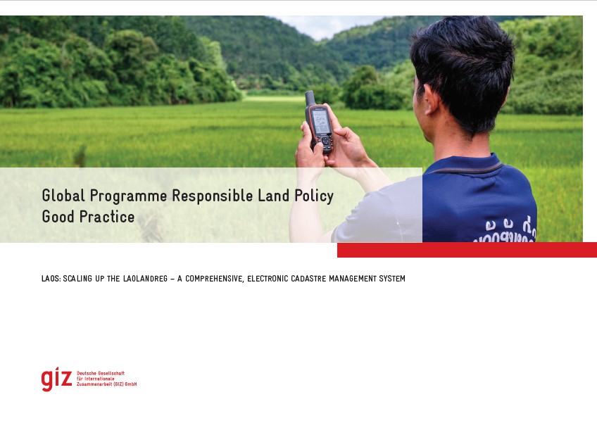
Good Practice

Institutional & promotional materials
October, 2021
Asia
South-Eastern Asia
Laos

The Global Programme 'Responsible Land Policy' (GPRLP) is part of the Special Initiative 'One World, No Hunger' of the German Federal Ministry for Economic Cooperation and Development (BMZ), which aims to reduce extreme poverty and hunger.

In Laos, the ‘Enhanced Land Tenure Security Project’ (ELTeS) supports five provinces in Northern Laos in securing land user and land ownership rights. The project has supported the expansion of the use of a comprehensive, electronic and user-friendly cadastre management system, the so-called ‘LaoLandReg’ (LLReg) in all provinces of Lao PDR.

LAND-at-scale Chad

Policy Papers & Briefs
October, 2021
Chad

This one-pager provides details on the LAND-at-scale project in Chad. This project is implemented by Kadaster International and Oxfam Novib, and financed by the Ministry of Foreign Affairs via the Netherlands Enterprise & Development Agency.