page search

IssuescadastresLandLibrary Resource
Displaying 1009 - 1020 of 2807

Ministerial Joint Decree No. 37842 eestablishing the content and form of Cadastral Diagram - Free of charge issuance of Cadastral Diagram for public authorities.

Regulations
Greece
Europe
Southern Europe

The Cadastral Diagram represents the detailed form of information contained in the database of the National Cadastre and it constitutes the background basic information on which the Diagram of geometric amendments is depicted. With this Diagram, changes on delimitation of land can be requested. The Decree prescribes the information which must be included in the Diagram and establishes that its issuance shall be free of charge for the public administration.

Order No. 475 of the Ministry of Economic Development validating the list of documents required for acquisition of rights to a plot of land.

Regulations
Russia
Eastern Europe
Europe

The following list of documents shall be required for acquisition of rights to a plot of land: (a) personal identity document for applicants – natural persons; (b) copy of registration certificate for applicants – legal persons; (c) land ownership certificate (for vendor); and (d) cadastre certificate.

Boundaries and Survey Maps (Conduct of Cadastral Surveys) Rules (No. S 155/2005).

Regulations
Singapore
Asia
South-Eastern Asia

These Rules set out procedures and requirements for the conduct of surveys.The Rules provide for requirements and conditions that registered surveyors must comply with, including: survey documents to be submitted to the Chief Surveyor; testing of field equipment used for cadastral survey; abbreviations, signs and symbols to be used in survey documents; certificates; and plan forms.The Rules provide in detail procedures necessary to conduct survey of land lots and strata lots.

Implements: Boundaries and Survey Maps Act, 1998 (Act 35 of 1998). (2008-12-17)

Land Use Planning Agreement.

Germany
Europe
Western Europe

The purpose of the present Agreement between the states of Berlin and Brandenburg is to: 1) promote a common land use policy; 2) protect and conserve natural living conditions; 3) strengthen the common economic position, as well as 4) integrate the two states in the European Union.

Law No. 3882 establishing the National Infrastructure for Spatial Information – Alignment with Directive 2007/2/EC, amending Law No. 1647/1986 and providing for other related matters.

Legislation
Greece
Europe
Southern Europe

The Law, with the view to implement the provisions of Directive 2007/2/EC, lays down general rules aimed at the establishment of the Infrastructure for Spatial Information in Greece, for the purposes of Community environmental policies and policies or activities which may have an impact on the environment. The Law is divided into three Parts. Part A (articles 2-13) deals with the incorporation of the afore-mentioned Directive into the Greek legislative framework. Part B (articles 14-28) sets forth the national measures for the implementation of the Directive.

Condition of rural land markets in Azerbaijan

Reports & Research
December, 2004
Central Asia
Azerbaijan
Eastern Europe

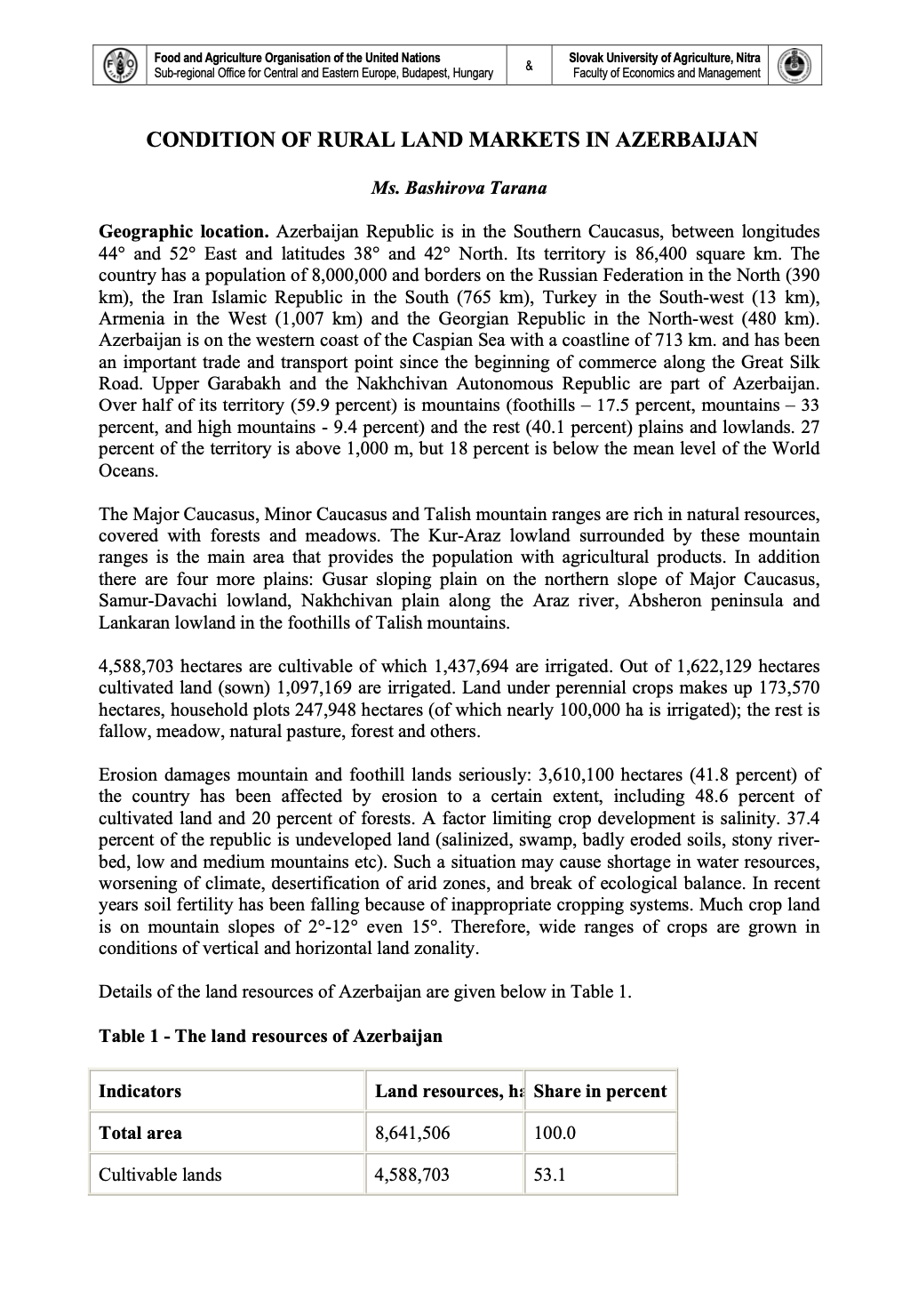
Azerbaijan Republic is in the Southern Caucasus, between longitudes 444 and 522 East and latitudes 388 and 422 North. Its territory is 86,400 square km. The country has a population of 8,000,000 and borders on the Russian Federation in the North (390 km), the Iran Islamic Republic in the South (765 km), Turkey in the South-west (13 km), Armenia in the West (1,007 km) and the Georgian Republic in the North-west (480 km). Azerbaijan is on the western coast of the Caspian Sea with a coastline of 713 km.