page search

IssuesresearchLandLibrary Resource
Displaying 457 - 468 of 3161

Estimation of Soil Erosion Rates and Eroded Sediment in a Degraded Catchment of the Siwalik Hills, Nepal

Peer-reviewed publication
September, 2013

The Siwalik Hills is one of the most fragile and vulnerable ecosystems in the Nepalese Himalaya where soil erosion and land degradation issues are fundamental. There is very limited knowledge on soil erosion processes and rates in this region in comparison to other regions of the Himalaya. The aims of the present paper are to document, measure and interpret key soil erosion processes and provide an estimate of erosion rates in the Khajuri Stream catchment located in the eastern Siwalik Hills.

Re-Thinking the Role of Compensation in Urban Land Acquisition: Empirical Evidence from South Asia

Peer-reviewed publication
June, 2013
India

Planned efforts to relocate human populations often entail protracted struggles over the terms on which local populations may be compensated for the loss of land, assets and livelihoods. In many instances, compensation has been established on the basis of historical market value, which in effect excludes stakeholders (e.g., encroachers, landless laborers, sharecroppers, etc.) whose livelihoods are adversely affected by land acquisition. Establishing ways of recognizing and compensating the loss of informal land and livelihood is therefore a pressing policy priority.

The Effects of Land-Use Change from Grassland to Miscanthus x giganteus on Soil N2O Emissions

Peer-reviewed publication
September, 2013

A one year field trial was carried out on three adjacent unfertilised plots; an 18 year old grassland, a 14 year old established Miscanthus crop, and a 7 month old newly planted Miscanthus crop. Measurements of N2O, soil temperature, water filled pore space (WFPS), and inorganic nitrogen concentrations, were made every one to two weeks. Soil temperature, WFPS and NO3− and NH4+ concentrations were all found to be significantly affected by land use.

Incorporating Topography into Landscape Continuity Analysis—Hong Kong Island as a Case Study

Peer-reviewed publication
December, 2013

The increase in population and the expansion of built-up areas into natural and agricultural areas results in more than just loss of open spaces surrounding cities. Reduced accessibility to nature, visual intrusion of buildings into natural viewsheds, and changes in runoff requires us to assess these impacts on open spaces. Our aim in this paper was to examine and demonstrate how topography can be incorporated into modeling and analyzing environmental impacts of cities.

Historical and Contemporary Geographic Data Reveal Complex Spatial and Temporal Responses of Vegetation to Climate and Land Stewardship

Peer-reviewed publication
June, 2013

Vegetation and land-cover changes are not always directional but follow complex trajectories over space and time, driven by changing anthropogenic and abiotic conditions. We present a multi-observational approach to land-change analysis that addresses the complex geographic and temporal variability of vegetation changes related to climate and land use.

On Demand, Development and Dependence: A Review of Current and Future Implications of Socioeconomic Changes for Integrated Water Resource Management in the Okavango Catchment of Southern Africa

Peer-reviewed publication
March, 2013
Angola
Botswana
Namibia

Water is both a key and limited resource in the Okavango Catchment of Southern Africa. It is vital for the ecosystem and the three riparian states Angola, Botswana and Namibia who use the water of the catchment for multiple purposes including pastoralism, farming and tourism. Socioeconomic changes, primarily strong population growth and increasing development demands pose significant challenges for the Okavango Catchment and its Integrated Water Resource Management (IWRM). In this paper, we first review the socioeconomic background and the current and projected water situation.

Land Law Review and Drafting of Land Laws for Bangladesh

Policy Papers & Briefs
November, 2011
Bangladesh
India

The complexity and magnitude of issues pertaining to land administration and management in Bangladesh cannot be overstated. The nature and volume of land disputes in the nation indicate the inefficiency of the land administration system and land dispute resolution mechanisms. Especially multiple claims to the same property-fuelled by the uncoordinated land recording systems-are widespread. land grabbing presents huge legal and governance related challenges.

Workshop report on Baseline survey facilitation Uttaran Bangladesh

Reports & Research
July, 2013
Bangladesh

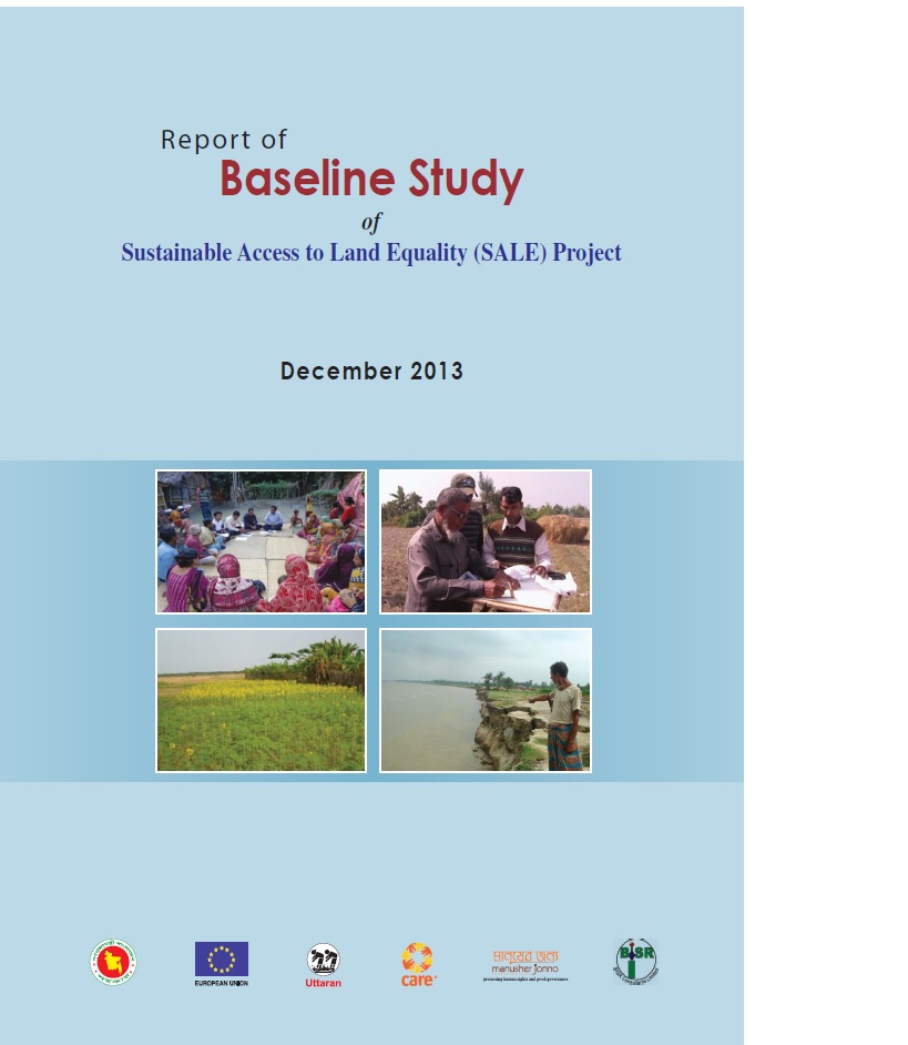
Uttaran began work on the Sustainable Access to Land Equality (SALE) project to ensure transparency and accountability in land governance in December 2012. The project engaged communities in three pilot upazilas - to raise the awareness of vulnerable landowners about land administration, and to effect transparent processes for selecting landless people and for state land settlement.

Study on vulnerable land owners selection in Bangladesh

Manuals & Guidelines
Reports & Research
November, 2014
Bangladesh

Uttaran in partnership with Manusher Jonno Foundation and CARE has been implementing SALE (Sustainable Access to Land Equality) project funded by European union in three upazilas of Bangladesh. The development goal of this project is to strengthen access to land and property rights for all citizens, especially the poorest segments. Mainly, the project intends to promotion of effective, transparent and accountable land governance practices towards access to equitable land and property rights for the poorest community.

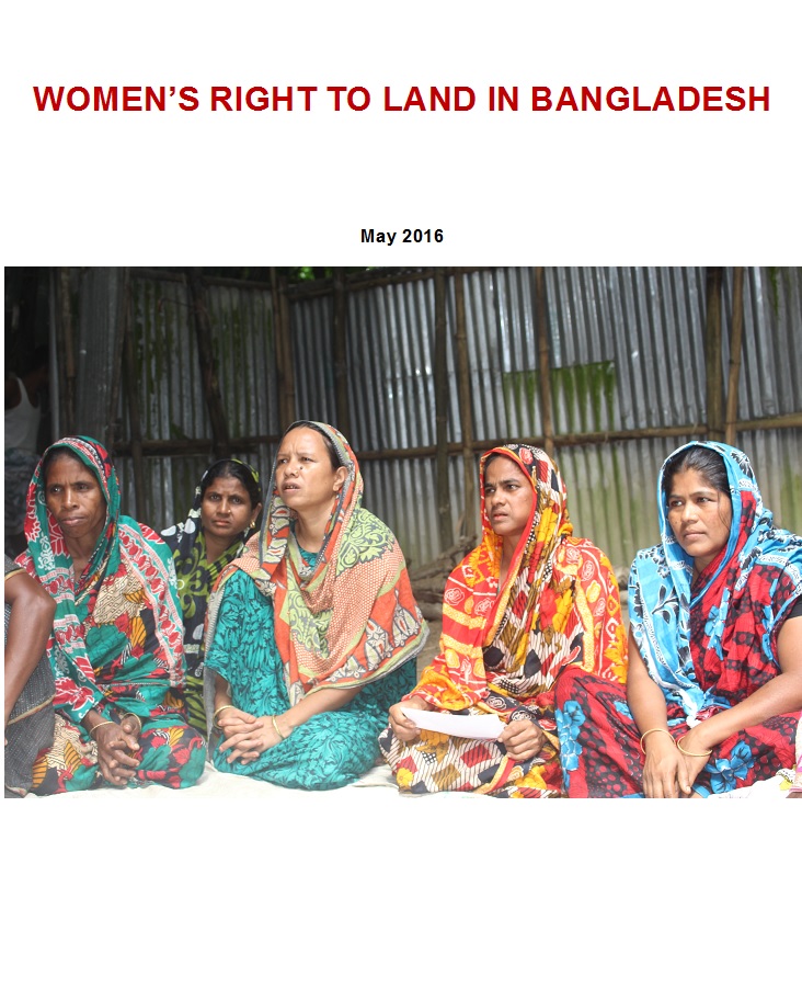
WOMEN’S RIGHT TO LAND IN BANGLADESH

Reports & Research
April, 2016
Bangladesh

It has been frequently argued that women’s access to and control over land can potentially lead to greater gender equitability alongside addressing material deprivation. Gender equality today is considered one of the crucial premises for economic and social development as well as women’s empowerment as recognized in the MDGs and SDGs.

Workshop report on Baseline survey_Land project_Uttaran

Reports & Research
November, 2013
Bangladesh

Uttaran is the pioneer leading national non-government to promote rights for landless people of Bangladesh since 1985. Uttaran recently implementing a project namely Sustainable Access to Land Equality (SALE) in association with Department of Land Records and Survey under Ministry of Land in Bangladesh with funding support of European Union. Baseline survey to know the existing scenario of the working area, particularly the vulnerability of land owners during digital survey and settlement.

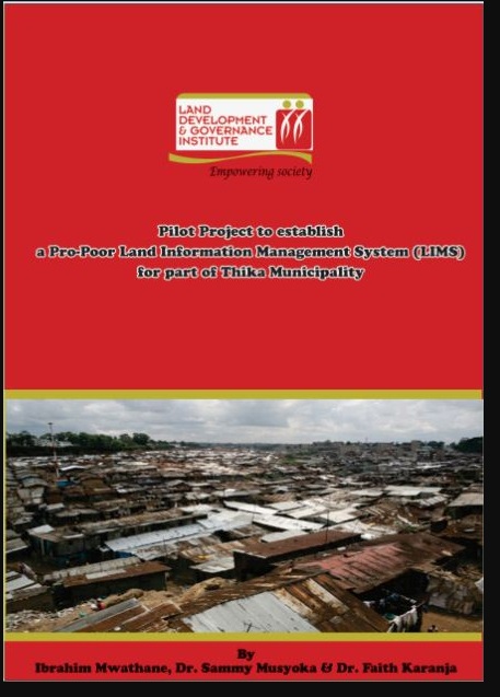
Pilot Project to establish a Pro-Poor Land Information Management System (LIMS) for part of Thika Municipality

Journal Articles & Books
Reports & Research
May, 2012
Kenya

According to 2001 statistics, 924 million people, almost one third of the world’s population lived in slums. A majority of these people are in the developing countries and they account for 43% of the urban population. Slums are characterized by a dense proliferation of small, makeshift shelters built from diverse materials, degradation of the local ecosystem and by severe social problems.