page search

IssuesresearchLandLibrary Resource
Displaying 385 - 396 of 3161

Compulsory Land Acquisition in Post War Sub-Saharan Africa: Some Lessons from Burundi

Journal Articles & Books
June, 2013
Sub-Saharan Africa
Burundi

Gaining access to private lands in war-torn societies is a problem that confronts many governments, including Burundi when implementing public projects. Government officials hastily acquired private lands while implementing projects which are not always for public interests. Using the case study approach, the study explored what happened when land was acquired to erect a new Presidential Palace at Gasenyi area.

Mount Kilimanjaro Orthometric Height by TZG08 Geoid Model and GPS Ellipsoidal Heights from 1999 and 2008 GPS Campaigns

Journal Articles & Books
December, 2013
Tanzania

The aim of this paper is to compute a more accurate orthometric height of Mount Kilimanjaro by utilizing the current most precise geoid model for Tanzania, TZG08, together with the 1999 and 2008 GPS campaigns ellipsoidal heights using GPS levelling method.

The result of the GPS levelling using TZG08 gravimetric geoid model and the Kil_1999 and KILI2008 GPS ellipsoidal heights is that the orthometric height of Mount Kilimanjaro is 5,894.94m. Therefore the orthometric height of Mount Kilimanjaro is practically the same as the 1952 official height of 5,895m. 

Promoting land rights to land for women and vulnerable groups through education in Eastern Africa

Reports & Research
June, 2015
Eastern Africa
Tanzania

The Eastern Africa Land Administration Network (EALAN) plays an important role in development and support of Land Administration education in Eastern Africa.  The Network was formed in 2009, out of interest and informal agreement by four universities in Eastern African Universities to support each other in offering Land Administration related programs. The interest to network was motivated by lack of qualified land administration lecturers across the eastern African countries.

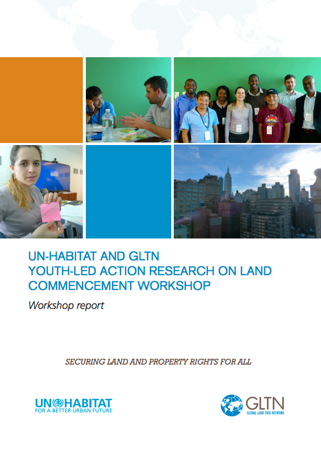
UN-Habitat and GLTN Youth-Led Action Research on Land Commencement Workshop Report

Reports & Research
Training Resources & Tools
February, 2013
Kenya
Zimbabwe
Brazil
Nepal
Yemen
Global

The land challenge is central to the broader youth dynamics of migration, employment, livelihoods and belonging. The more than 1.8 billion youth living worldwide represent not only a land challenge, but an untapped potential in moving the tenure security agenda forward. Recognizing this, the Global Land Tool Network has partnered with UN-Habitat to develop youth responsive land tools through the Youth-led Action Research on Land program. Five action research projects will be undertaken by youth organizations in Brazil, Kenya, Nepal, Yemen and Zimbabwe.

Patterns of Tree Distribution within Small Communities of the Sudanian Savanna-Sahel

Peer-reviewed publication
December, 2014
Algeria
Sudan
Burkina Faso
Nigeria
Mauritania
Chad
Mali
Cameroon
Senegal
Central African Republic
South Sudan
Ethiopia
Niger
Eritrea
Africa

Crown diameter and tree density were measured in 52 communities in the Sudan-Sahel using satellite imagery to determine the relationships between rainfall and distance from community center to crown size diameter and tree density. As distance from the community center increased, tree density and crown diameter decreased. As rainfall increased, tree density decreased while crown diameter increased. Distance from the community center is a proxy for age since urbanization and our results indicate that older parts of communities show longer and more consistent tree management.

Analysis of Urban Green Spaces Based on Sentinel-2A: Case Studies from Slovakia

Peer-reviewed publication
June, 2017
Slovakia

Urban expansion and its ecological footprint increases globally at an unprecedented scale and consequently, the importance of urban greenery assessment grows. The diversity and quality of urban green spaces (UGS) and human well-being are tightly linked, and UGS provide a wide range of ecosystem services (e.g., urban heat mitigation, stormwater infiltration, food security, physical recreation).

Can Community Forests Be Compatible With Biodiversity Conservation in Indonesia?

Peer-reviewed publication
March, 2017
Indonesia

Forest lands in Indonesia are classified as state lands and subject to management under agreements allocated by the Ministry of Environment and Forestry. There has been a long-standing tension between the ministry and local communities who argue that they have traditionally managed large areas of forest and should be allowed to continue to do so. A series of recent legal and administrative decisions are now paving the way for the allocation of forests to local communities.

Creating Social Safeguards for REDD+: Lessons Learned from Benefit Sharing Mechanisms in Vietnam

Peer-reviewed publication
September, 2014

Currently, many studies on benefit sharing mechanisms (BSM) and the Reducing Emissions from Deforestation and Forest Degradation programme (REDD+) focus on poverty alleviation and livelihood development. However, relatively few studies incorporate an integrated livelihood framework. This study employs the sustainable livelihoods framework to assess the impact of BSM in Vietnam. The lessons learned could be used in creating social safeguards for REDD+. The communities in Central Vietnam involved in BSM were impacted by the programme on various dimensions.

Investigation of the Dominant Factors Influencing the ERA15 Temperature Increments at the Subtropical and Temperate Belts with a Focus over the Eastern Mediterranean Region

Peer-reviewed publication
September, 2014

A stepwise multi regression-based statistics was employed for prioritizing the influence of several factors, anthropogenic and/or natural, on the ERA15 temperature increments. The 5 factors that are defined as predictors are: topography, aerosol index (TOMS-AI), tropospheric vertical velocity along with two anthropogenic factors, population density and land use changes (Land Use Change Index (LUCI) and Normalized Difference Vegetation Index (NDVI) trends). The seismic hazard assessment factor was also chosen as the “dummy variable” for validity.