page search

IssuessurveyorsLandLibrary Resource
Displaying 877 - 888 of 1345

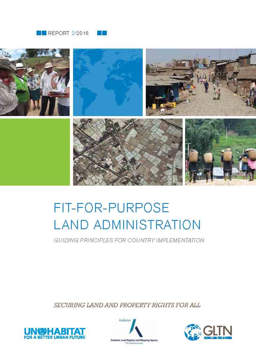
Fit-for-Purpose Land Administration: Guiding Principles for Country Implementation

Manuals & Guidelines
February, 2016
Global

The guide proposes guiding principles to build Fit-For-Purpose land administration systems in order to deliver benefits, including secure tenure rights, to a wide range of stakeholders. It provides structured guidance on building the spatial, legal and institutional frameworks in support of designing country-specific strategies for implementing FFP land administration. It contains the analysis and operational advisory guidelines to implement the approach.

Order No.28 of 1996 of the Federal Committee on Land Resources and Land Survey regarding validation of the form of the contract for carrying out projecting and prospecting work in the field of land survey, land cadastre, land monitoring and observance ...

Regulations
Russia
Eastern Europe
Europe

Chief of the Federal Committee on Land Resources and Land Survey, for the purpose of conformation of the contractual documentation to Civil Code and strengthening observance of contractual commitments within the Committee, orders to validate the subjoined form of the contract for carrying out projecting and prospecting work in the field of land survey, land cadastre and land monitoring with Annexes.

Ordonnance du DDPS sur la Commission fédérale de géologie (OCFG).

Regulations
Switzerland
Europe
Western Europe

La Commission fédérale de géologie (CFG) est instituée par le Conseil fédéral. Elle accomplit les tâches suivantes: a) émettre des avis concernant des questions géologiques de principe, destinés au Conseil fédéral et aux départements de l’administration fédérale; b) mettre à disposition des bases géologiques pour des décisions d’importance; c) apprécier des expertises géologiques en toute neutralité. Le texte comprend 14 articles.

Abrogé par: Abrogation de l’ordonnance du DDPS sur la Commission fédérale de géologie (OCFG). (2011-11-21)

Ministerial Decree No. 273 of 2000 regarding validation of the Regulation on state geodetic survey over geodetic and cartographic activity.

Regulations
Russia
Eastern Europe
Europe

The Government decrees to validate the Regulation. State Geodetic Survey over Geodetic and Cartographic Activity is carried out for the purpose of ensuring observance of the Russian Legislation on geodesy and cartography by all the parties involved in the sphere of relationship of geodesy and cartography. The Federal Service of Geodesy and Cartography carry out state Geodetic Survey. The main tasks of State Geodetic Survey are: 1).