Blauwe contouren: natte randzones voor droge steden; waterberging en ruimtegebruik langs bebouwd gebied
In de studie 'Blauwe contouren' is onderzoek gedaan naar de mogelijkheden voor combinaties van waterberging (piekberging en voorraadberging) met andere functies in randzones langs bestaande en nieuwe steden. Dit om invulling te geven aan de wateropgave, ook voor stedelijke gebieden, die voortvloeit uit de Startovereenkomst Waterbeleid 21e eeuw. Het idee van een 'blauwe contour' is uitgewerkt voor de ruimtelijke inrichting van de randzone rond VINEX-wijk Saendelft (Zaanstad).
Stad-land in onderzoek; eindrapportage onderzoeksprogramma Stad-Land 1997-2000
Who's afraid of red, green and blue?; toets van de Vijfde Nota Ruimtelijke Ordening op ecologische effecten
Met het in de Vijfde Nota Ruimtelijke Ordening voorgestelde beleid, worden de waardevolle landschappen in Nederland de komende 20 jaar vooralsnog onvoldoende beschermd tegen de oprukkende verstedelijking. Bij continuering van de huidige trends en zonder aanvullend beleid gaat in 2020 door verstedelijking ruim 20␟an de waardevolle landschappen verloren. Met name landschappen in de Noordvleugel van de Randstad en de provincie Utrecht staan onder druk. Het kabinet stelt in de Vijfde Nota wel doelen voor het behoud van landschap en introduceert onder meer het instrument 'groene contouren'.
Land in de stad; een groene visie op het regionaal ontwerpen
Naar een klimaatbestendig Groene Hart : beleidsopgaven, concepten en strategieën voor een duurzame inrichting van het Groene Hart
Studie uitgevoerd in het kader van de Routeplanner 2010 > 2050:”Naar een Klimaatbestendig Nederland”. Een duurzame gebiedsontwikkeling in het Groene Hart, hoe krijgt dat vorm, rekening houdend met klimaatverandering. Want: De ambitie om de problemen in het Groene Hart aan te pakken is volop aanwezig. De vraag die overblijft, is: Is straks (zeg 2050) het Groene Hart wel voldoende klimaatbestendig ingericht. Daarover gaat dit rapport.
Interviewserie 'Het park van de toekomst' : achtergronddocument bij natuurverkenning 2011
Voor de Natuurverkenning 2011 onderzoekt het Planbureau voor de Leefomgeving vier streefbeelden voor natuur. Eén van deze streefbeelden is Beleefbare natuur. Stadsparken zijn een belangrijke omgeving waar burgers natuur kunnen beleven. Om de uitwerking van het streefbeeld te ondersteunen, werd een serie van tien verkennende interviews uitgevoerd over ‘Het Park van de Toekomst’.
Land Rights for Slum Dwellers in Odisha: Making technology work for the urban poor
The webinar Land Rights for Slum Dwellers in the East Indian State Odisha: Making technology work for the urban poor took place on 14 February, 2018.
The webinar discussed anecdotes of the land rights policy in the state, application of innovative technology, processes and partnerships in the project execution and best practices followed in gaining rights for slum dwellers.
This report provides a brief summary of the webinar dialogue and the main points that emerged.
Espaços de Resistência:
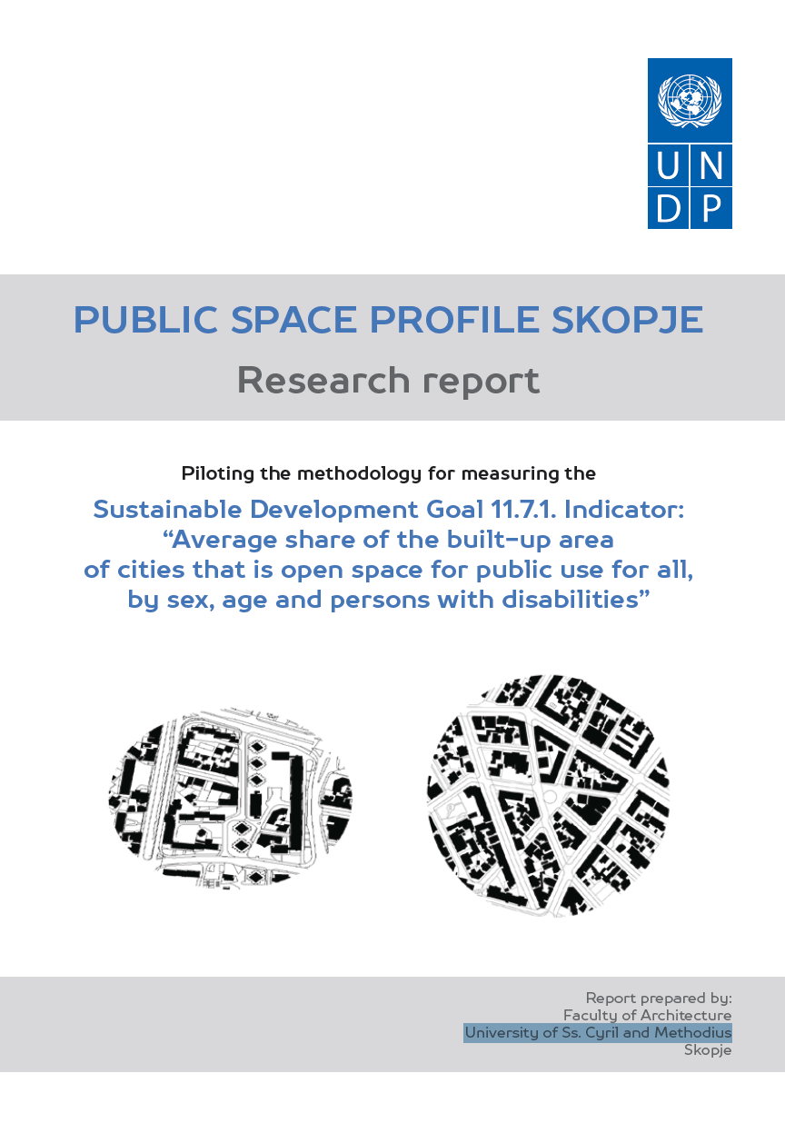
Public Space Profile Skopje: Research Report
This Public Space Profile of the City of Skopje provides a brief overview of current practices in the development and management of public space in Skopje and a profile of the availability and quality of public space. The report addresses numerous institutional, technical and human dimensions of public spaces in Skopje, including:
Principles and Applications of the Global Human Settlement Layer as Baseline for the Land Use Efficiency Indicator—SDG 11.3.1
The Global Human Settlement Layer (GHSL) produces new global spatial information, evidence-based analytics describing the human presence on the planet that is based mainly on two quantitative factors: (i) the spatial distribution (density) of built-up structures and (ii) the spatial distribution (density) of resident people. Both of the factors are observed in the long-term temporal domain and per unit area, in order to support the analysis of the trends and indicators for monitoring the implementation of the 2030 Development Agenda and the related thematic agreements.


