Topics and Regions
Landpages.co.ke is a medium of passing this message.
Details
Public Email
Location
Contributions
Displaying 651 - 660 of 740Follow the Money to Justice
This resource is for advocates working to support communities who have been affected by harmful investment projects. It will help you follow the money to identify and analyze the companies, investors and other actors behind these projects. It also explains how to collect evidence and develop tailored advocacy strategies to hold these actors accountable and defend land, housing and resource rights.
Creating an enabling environment for responsible investment in agriculture and food systems - Reform
This course, designed for policy makers, government staff and civil society, provides guidance on driving reforms that strengthen policy, legal, regulatory and institutional frameworks for responsible agricultural investment (RAI). It provides support to design the reform strategy, establish multi-stakeholder consultation processes for decision-making and enhance the role of regulatory processes in creating an enabling environment for responsible agricultural investment.
Getting From Ideas to Reality: Building Political Support to Translate Good Ideas Into Actual Practice
This document focuses on how government officials can improve the governance and practice of responsible land-based investment by building stronger political support.
Land Corruption Risk Mapping: Developing a handbook on how to identify and tackle corruption risks in land governance
The Land Corruption Risk Mapping Instrument is designed to raise awareness and understand how to detect corruption in land governance issues. The instrument is developed in a way that it can be applied in any Sub-Saharan African country. It is published as a handbook that gives explanations, guidance and examples.
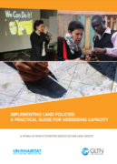
Implementing Land Policies: A Practical Guide for Assessing Capacity
A lack of capacity in the land management and administration is a key reason that land policies are not effectively implemented in many countries and, indeed, is a reason that those policies are inappropriate or become outdated. This Guide outlines a process for assessing the capacity of the land management and administration system in a country as a whole, or just part of it (for example, just the land-valuation system, or the land management and administration system of a particular local authority).
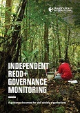
Independent Redd+ Governance Monitoring: A Guidance Document For Civil Society Organisations
This guidance document is an overview of key steps and considerations for the design and implementation of effective independent REDD+ governance monitoring systems. It draws on a growing body of experiences and case studies undertaken by CSOs within and outside the Transparency International movement, and across different tropical forest countries.
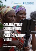
Combatting corruption through participatory video: A guide for practitioners
This guide was developed to assist participatory video practitioners to undertake corruption-focussed projects and to encourage its uptake within the anti-corruption movement worldwide. Participatory video is a form of community media that engages citizens in the processes of investigating and documenting their circumstances, devising solutions and advocating for change. The videos produced can be used to establish communications between citizens and decision-makers, opening up new spaces for dialogue and opportunities for increased social accountability.
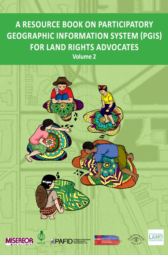
A Resource Book on Participatory Geographic Information System (PGIS) for Land Rights Advocates (Volume 2)
This guide (volume 2) aims to equip land rights advocates, development practitioners and stallholder farmers and indigenous people’s communities with the necessary knowledge, attitude, and skills on Community Mapping and Participatory Geographic Information System (PGIS). It focuses on data collection, database management, data processing, and analysis for the production of digital maps useful in advancing the land rights agenda of rural communities, particularly indigenous communities and smallholder farmers in Southeast Asia.
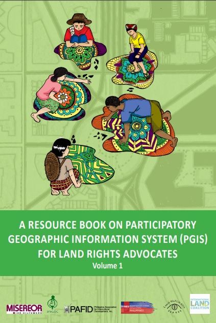
A Resource Book on Participatory Geographic Information System (PGIS) for Land Rights Advocates (Volume 1)
This guide (volume 1) aims to equip land rights advocates, development practitioners and stallholder farmers and indigenous people’s communities with the necessary knowledge, attitude, and skills on Community Mapping and Participatory Geographic Information System (PGIS). It focuses on data collection, database management, data processing, and analysis for the production of digital maps useful in advancing the land rights agenda of rural communities, particularly indigenous communities and smallholder farmers in Southeast Asia.
Mapping For Rights' Mapping Methodology: A new approach to participatory mapping
This guide presents the 'Mapping for Rights' approach, which combines participatory mapping techniques, facilitation and hands-on support with the application of relevant and available technology. This combination of tools, guidance and equipment enables communities to identify advocacy goals that their maps could support. The maps are designed to provide a snapshot of the communities’ reality, including information on their history and socio- economic situation and demonstrate occupation and use of specific areas by communities.


