Passar para o conteúdo principal

page search

Displaying 289 - 300 of 302

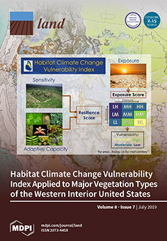
Trend Analysis of Las Vegas Land Cover and Temperature Using Remote Sensing

Peer-reviewed publication
Dezembro, 2018
Global

The Las Vegas urban area expanded rapidly during the last two decades. In order to understand the impacts on the environment, it is imperative that the rate and type of urban expansion is determined. Remote sensing is an efficient and effective way to study spatial change in urban areas and Spectral Mixture Analysis (SMA) is a valuable technique to retrieve subpixel landcover information from remote sensing images.

Changes in Land Cover and Urban Sprawl in Ireland From a Comparative Perspective Over 1990–2012

Peer-reviewed publication
Janeiro, 2019
Irlanda

In this article, we first summarise trends of land use changes and urbanisation in Ireland since 1990 using data from the Corine Land Cover program. In doing so, we compare the developments in Ireland with other European countries. Second, we propose a statistical test for the presence of sprawl using conditional and unconditional convergence tests. The two-part empirical analysis allows us to establish that Ireland has experienced a substantial loss of non-urban land in recent decades.

Monitoring Effects of Land Cover Change on Biophysical Drivers in Rangelands Using Albedo

Peer-reviewed publication
Fevereiro, 2019
Global

This paper explores the relationship between land cover change and albedo, recognized as a regulating ecosystems service. Trends and relationships between land cover change and surface albedo were quantified to characterise catchment water and carbon fluxes, through respectively evapotranspiration (ET) and net primary production (NPP). Moderate resolution imaging spectroradiometer (MODIS) and Landsat satellite data were used to describe trends at catchment and land cover change trajectory level. Peak season albedo was computed to reduce seasonal effects.

Climate, Land Use and Land Cover Changes in the Bandama Basin (Côte D’Ivoire, West Africa) and Incidences on Hydropower Production of the Kossou Dam

Peer-reviewed publication
Julho, 2019
África Ocidental

Climate and land use/cover changes are potential drivers of change in hydrology and water use. Incidences of these factors on Bandama hydrological basin and Kossou hydropower generation (1981–2016) in West Africa are assessed in this present work. Using Landsat products of United Stated Geological Survey, results show that water bodies areas and land use have increased by 1.89%/year and 11.56%/year respectively, whereas herbaceous savanna, savanna, forest and evergreen forest coverage have been reduced by 1.39%/year, 0.02%/year, 2.39%/year and 3.33%/year respectively from 1988 to 2016.

Historical Trajectory in Vegetation Cover in Northeastern Namibia Based on AVHRR Satellite Imagery (1982–2015)

Peer-reviewed publication
Novembro, 2019
Namíbia
Global

The negative impact of the reduction of vegetation cover is already being felt in the Zambezi Region in northeastern Namibia. The region has been undergoing various land cover changes in the past decades. To understand the historical trend of vegetation cover (increase or decrease), we analyzed 8-km resolution Global Inventory Monitoring and Modeling Studies (GIMMS) from the Advanced Very High Resolution Radiometer (AVHRR) and 0.25° × 0.25° (resampled to 8 km) resolution Global Precipitation Climatology Center (GPCC). We used the Time Series Segmented Residual Trends (TSS-RESTREND) method.

KENYA LAND POLICY: ANALYSIS AND RECOMMENDATIONS

Journal Articles & Books
Maio, 2009
Quênia

This analysis and recommendations stem from USAID/Kenya’s request for an assessment of Kenya’s draft National Land Policy (dNLP).4 It was conducted under the global task order: Property Rights and Resource Governance Program, a mechanism designed and supervised by USAID-EGAT’s Land Resources Management Team under the Office of Natural Resources Management.

THE LAND SECTOR NON-STATE ACTORS (LSNSA)

Journal Articles & Books
Setembro, 2011
Quênia

kenya land alliance download :Memorandum On Continued Engagement With The Ministry Of Lands On Land Reforms Presented To: The Ministry Of Lands. The approval by the public of the Constitution at the referendum on August 4, 2010 and its promulgation on August 27, 2010 heralded a new dawn of governance in Kenya. Through its broad provisions, it is expected that it will spur social and economic development and secure the land rights of all Kenyans, by among others guaranteeing them ownership, control and access to natural resources.

Land-Laws-Amendment-Bill-2015

Institutional & promotional materials
Outubro, 2015
Quênia

The first set of the land laws were enacted in 2012 in line with the timelines outlined in the Constitution of Kenya 2010. In keeping with the spirit of the constitution, the Land Act, Land Registration Act and the national Land Commission Act respond to the requirements of Articles 60, 61, 62, 67 & 68 of the Constitution.

Unjust-Enrichment-Volume 2

Journal Articles & Books
Dezembro, 2007
Quênia

The figures of public resources estimated to have been channeled into private pockets are so high one hopes, obviously against hope, that they would turn out to be typographical errors. The figures of public resources estimated to have been channeled into private pockets are so high one hopes, obviously against hope, that they would turn out to be typographical errors.

A Survey into the Management and use of Wetlands in Kenya

Institutional & promotional materials
Março, 2006
Quênia

The Role Of Wetlands In Poverty Reduction- Extreme poverty among rural poor people living around wetlands remains a daily reality for more than 56% of Kenya’s population, who subsist on less than one dollar a day. Seventy percent of extremely poor households, a majority of who live in rural areas where hunger and poverty prevails, are now being caught up in a new web of lack of access to wetlands as safety-net during hard times due to appropriation of wetlands by private developers.

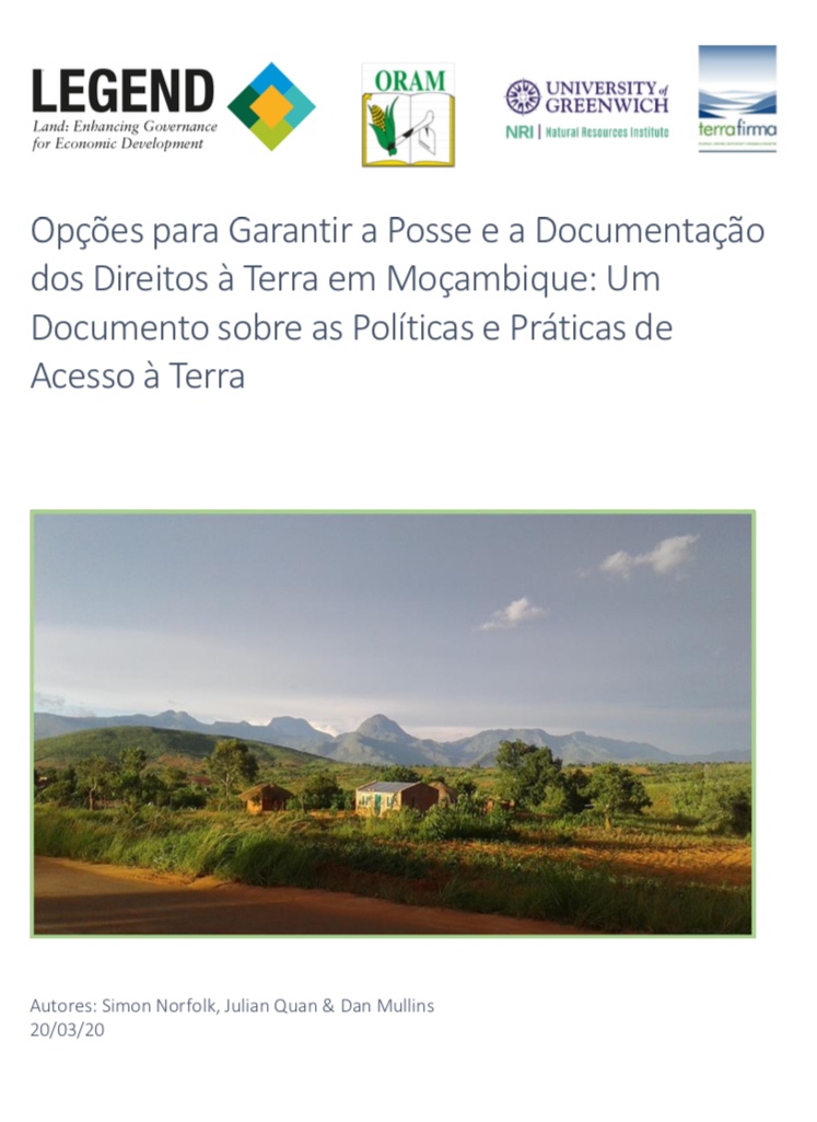
Opções para Garantir a Posse e a Documentação dos Direitos à Terra em Moçambique

Policy Papers & Briefs
Fevereiro, 2020
África Oriental
Moçambique

Um dos principais aspectos do quadro legal moçambicano de terras é que os cidadãos Moçambicanos podem adquirir direitos de posse por herança, por ocupação pacífica ou por canais costumeiros. Estes usufruem de direitos de posse, conhecidos pelo acrônimo em língua portuguesa 'DUAT' (Direito de Uso e Aproveitamento da Terra), que podem ser possuídos individualmente ou em conjunto.

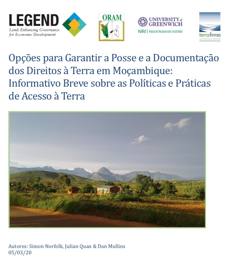
Opções para Garantir a Põsse e a Dõcumentaçaõ dõs Direitõs a Terra em Mõçambique

Policy Papers & Briefs
Fevereiro, 2020
África Oriental
Moçambique

Este documento informativo é baseado nos resultados e lições aprendidas em projectos realizados recentemente em Moçambique, financiados pelo programa LEGEND do DFID, nas análises mais amplas conduzidas por esse programa, e no conhecimento e experiência prática dos autores. O documento é um resumo de um Documento mais longo sobre Política e Práticas de Norfolk, S., Quan, J. & D.