Passar para o conteúdo principal

page search

IssuesinvasãoLandLibrary Resource
Displaying 25 - 36 of 39

Africa

Conference Papers & Reports
Setembro, 2005
África
África subsariana

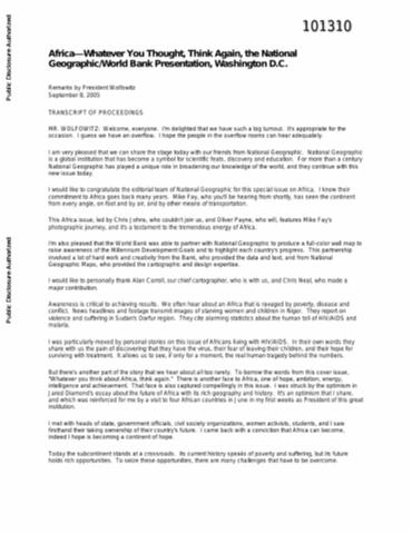
Paul Wolfowitz, President of the World Bank, congratulated the editorial team of National Geographic for the special issue on Africa. National Geographic has played a unique role in broadening the knowledge of the world. The World Bank partnered with National Geographic to produce a full-color wall map to raise awareness of the millennium development goals (MDGs) and to highlight each country's progress. We often hear about an Africa that is ravaged by poverty, disease and conflict. There is another face to Africa, one of hope, ambition, energy, intelligence and achievement.

Mongolia

Reports & Research
Policy Papers & Briefs
Maio, 2011
Mongólia
Ásia Oriental
Oceânia

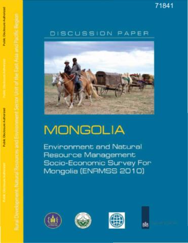
Mongolia has very significant natural resources and a large part of the population is dependent on them for their daily living. The impact of the state of the environment on the living standards of herders is obvious, but also Mongolians living in the capital Ulaanbaatar have learned that air pollution, especially in winter, and other environmental problems have a deep impact on their living standards. The Government of the Netherlands has established a Trust Fund at the World Bank to support environmental activities in Mongolia.

Smart Green Infrastructure in Tiger Range Countries

Reports & Research
Policy Papers & Briefs
Setembro, 2010
Malásia
Tailândia
China
Indonésia
Vietnam
Cambodja
Rússia
Índia
Cazaquistão
Ásia Oriental
Oceânia
Ásia Meridional
Sudeste Asiático

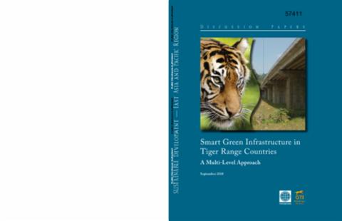
This report presents the results of extensive work of the smart green infrastructure task force commissioned by the World Bank under the Global Tiger Initiative (GTI). The report benefited from advice, ideas, and information about tigers and tiger-friendly infrastructure development from staff at the World Bank, and from several institutions that promote tiger and biodiversity conservation throughout the world.

Assessment of Forest Encroachment In Shimoga District of Western Ghats, India, Using Remote Sensing and GIS

Journal Articles & Books
Dezembro, 2016
Índia

The  study is focused on RS and GIS based assessment of forest encroachment in Shimoga district of Karnataka for the years 1990, 2000 and 2010 using Landsat TM/MSS/ETM+ for 1990 and 2000, mid south western part of malnad region of Karnataka state, geographically lies between 13°27' and 14°39' N latitudes and 74°38' and 76°4'E longitudes.

Tourism Encroachment on Reserved Forest Areas: A Case Study from Thailand

Reports & Research
Dezembro, 2014
Tailândia

In contrast to the more spectacular ‘land grabs’ for tourism development, the smaller-scale, progressive encroachment by tourist establishments into protected environments has attracted little attention in the literature. This article seeks to highlight the issue by a case study of the Thai authorities’ crackdown on resorts and second homes encroaching upon protected forests in a national park area in Thailand.

Rajakaluve Encroachment Finder

Multimedia
Novembro, 2016
Índia

This is an inderactive portal to help citizrns of Bangalore check if their residence falls on a storm waterdrain. The Bruhat Bengaluru Mahanagara Palike (BBMP) has notified properties with survey numbers that are encroaching on BBMP website. Our portal makes it easy to access these documents and give a summary view.


Mekong Land Research Forum: Annual country reviews 2018-19

Policy Papers & Briefs
Janeiro, 2019
Cambodja
Laos
Myanmar
Tailândia
Vietnam

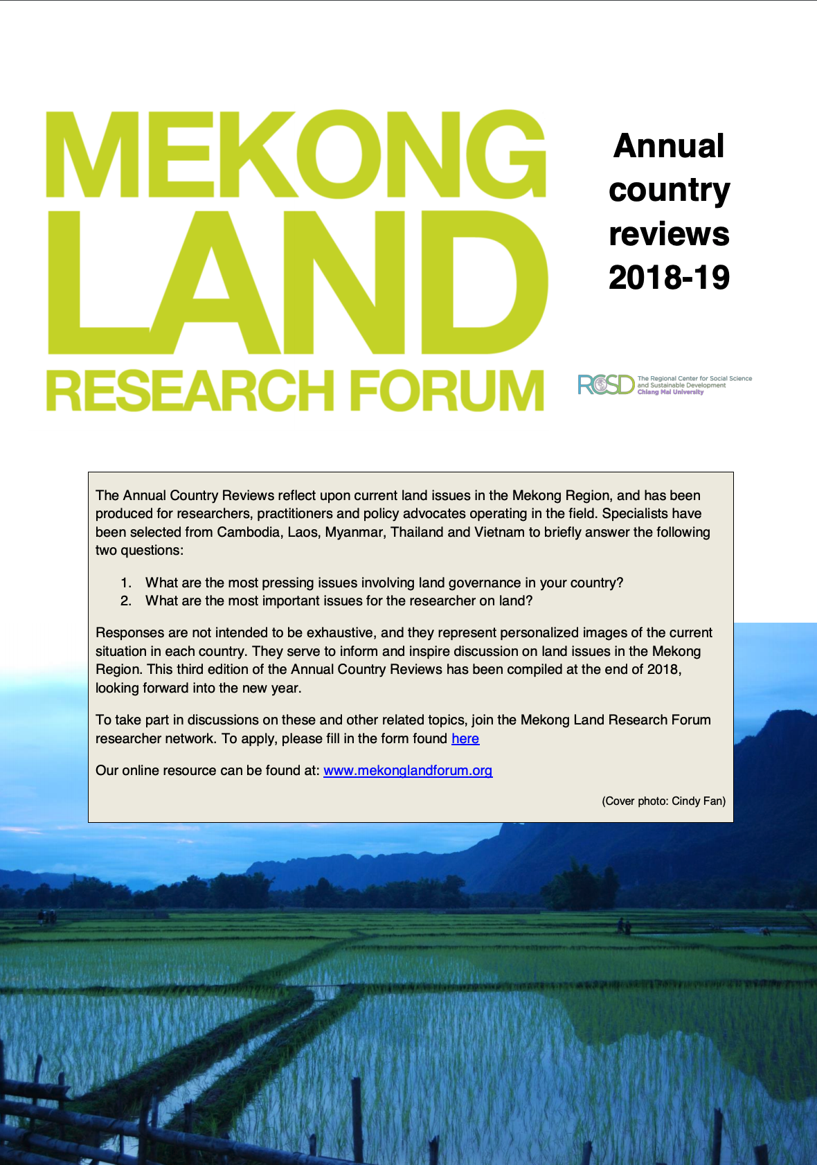
The Annual Country Reviews reflect upon current land issues in the Mekong Region, and has been produced for researchers, practitioners and policy advocates operating in the field. Specialists have been selected from Cambodia, Laos, Myanmar, Thailand and Vietnam to briefly answer the following two questions:

1. What are the most pressing issues involving land governance in your country?

2. What are the most important issues for the researcher on land?

Stability of wooded patches in a South African nutrient-poor grassland: do nutrients, fire or herbivores limit their expansion?

Journal Articles & Books
Dezembro, 2007

Patches of wooded vegetation in nutrient-poor grassland characteristically contain high soil moisture and nutrient availability compared with surrounding grassland. These `islands of fertility¿ appear stable in size, suggesting that tree recruitment at the patch boundary is limited. We hypothesize that tree establishment in adjacent grassland is limited by (1) competition for resources, (2) fire or (3) herbivory. In a South African grassland, we measured moisture availability and conducted a bioassay experiment to analyse whether soil nutrient limits tree recruitment at the patch boundary.

Autonomía de la Nación Wampís: Tarimat Pujut y la construcción del futuro común

Reports & Research
Setembro, 2017
Peru

El Gobierno Territorial Autónomo de la Nación Wampis (GTANW) ejerce su autonomía de hecho, sin expreso dictamen de la normativa interna sino basándose en el Convenio 169 de la OIT. De esta forma ejercen el control de su territorio, la cual una parte está titulada y la otra no; las áreas no tituladas son de uso y ocupación ancestral y que han sido aprovechadas y cuidadas por los Wampis.

Juana y la Comunidad Tres Islas contra la minería ilegal

Reports & Research
Abril, 2017
Peru

La siguiente es la trascripción casi literal de una larga conversación sostenida con Juana Payaba, expresidenta de la Comunidad Nativa Tres Islas, la única comunidad del departamento de Madre de Dios, en el sureste peruano, que ha logrado el reconocimiento de sus derechos consuetudinarios como pueblo indígena. La lucha de los comuneros de Tres Islas contra los mineros ilegales que invadieron

As Redes Comunitárias de Água no Vale do Guapiaçu

Policy Papers & Briefs
Dezembro, 2018
Brasil

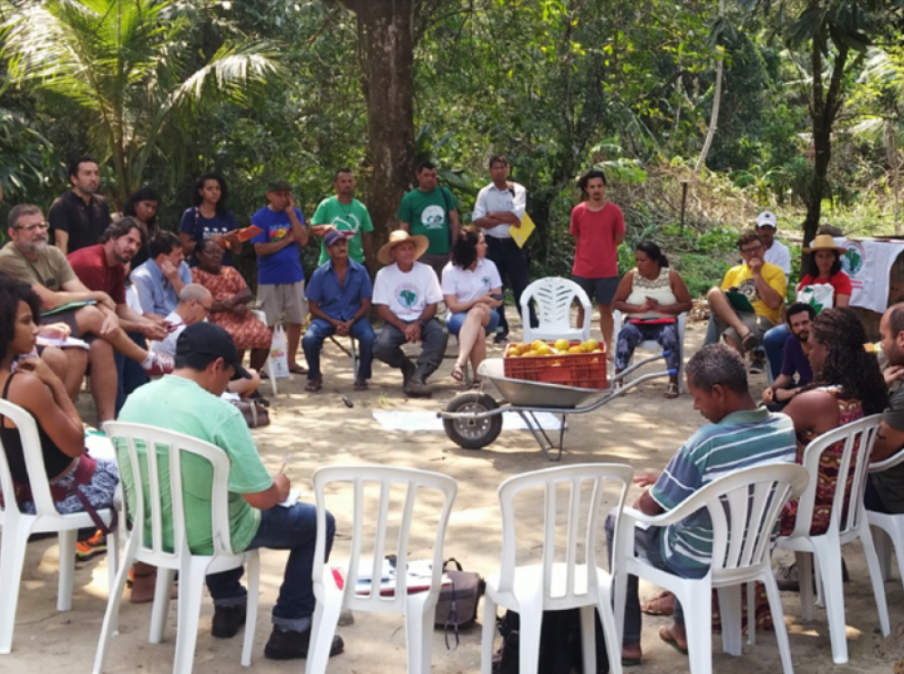
Hoje, uma porção do Vale do Guapiaçu, é ocupada por uma série de comunidades assentadas pelo Instituto Nacional de Colonização e Reforma Agrária (INCRA) ou via crédito fundiário pela Reforma Agrária de Mercado . Ao longo do tempo, foram diversos os grupos sociais que ocuparam a região e os processos de disputa por terra/ território pelos quais eles passaram, fazendo com que hoje, parte da formação

Modeling Urban Encroachment on the Agricultural Land of the Eastern Nile Delta Using Remote Sensing and a GIS-Based Markov Chain Model

Peer-reviewed publication
Dezembro, 2018
Egito

Historically, the Nile Delta has played an integral part in Egyptian civilization, as its fertile soils have been cultivated for centuries. The region offers a lush oasis among the expansive arid climate of Northern Africa; however, in recent decades, many anthropogenic changes to the environment have jeopardized Egypt’s agricultural productivity. Political instability and lack of sufficient regulations regarding urban growth and encroachment have put agricultural land in the area at risk.