Passar para o conteúdo principal

page search

IssuesinvestigaçãoLandLibrary Resource
Displaying 301 - 312 of 1399

The Impacts of Weather and Conservation Programs on Vegetation Dynamics in China’s Loess Plateau

Peer-reviewed publication
Dezembro, 2013

We present an analysis of the impacts of weather change and large-scale vegetation conservation programs on the vegetation dynamics in China’s Loess Plateau from 2000 through 2009. We employed a multiple lines of evidence approach in which multi-scale data were used. We employed Normalized Difference Vegetation Index (NDVI) data, acquired by the Moderate Resolution Imaging Spectroradiometer (MODIS) at 500 m to identify significant vegetation increases in the Loess Plateau since 2000. We found increases in NDVI for 48% of the Loess Plateau between 2000 and 2009.

Design and Interpretation of Intensity Analysis Illustrated by Land Change in Central Kalimantan, Indonesia

Peer-reviewed publication
Setembro, 2013

Intensity Analysis has become popular as a top-down hierarchical accounting framework to analyze differences among categories, such as changes in land categories over time. Some aspects of interpretation are straightforward, while other aspects require deeper thought. This article explains how to interpret Intensity Analysis with respect to four concepts. First, we illustrate how to analyze whether error could account for non-uniform changes. Second, we explore two types of the large dormant category phenomenon. Third, we show how results can be sensitive to the selection of the domain.

Land Law Review and Drafting of Land Laws for Bangladesh

Policy Papers & Briefs
Novembro, 2011
Bangladesh
Índia

The complexity and magnitude of issues pertaining to land administration and management in Bangladesh cannot be overstated. The nature and volume of land disputes in the nation indicate the inefficiency of the land administration system and land dispute resolution mechanisms. Especially multiple claims to the same property-fuelled by the uncoordinated land recording systems-are widespread. land grabbing presents huge legal and governance related challenges.

Workshop report on Baseline survey facilitation Uttaran Bangladesh

Reports & Research
Julho, 2013
Bangladesh

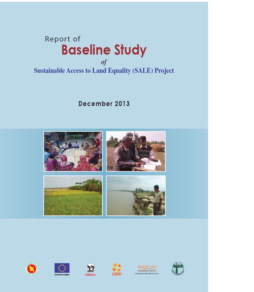
Uttaran began work on the Sustainable Access to Land Equality (SALE) project to ensure transparency and accountability in land governance in December 2012. The project engaged communities in three pilot upazilas - to raise the awareness of vulnerable landowners about land administration, and to effect transparent processes for selecting landless people and for state land settlement.

Study on vulnerable land owners selection in Bangladesh

Manuals & Guidelines
Reports & Research
Novembro, 2014
Bangladesh

Uttaran in partnership with Manusher Jonno Foundation and CARE has been implementing SALE (Sustainable Access to Land Equality) project funded by European union in three upazilas of Bangladesh. The development goal of this project is to strengthen access to land and property rights for all citizens, especially the poorest segments. Mainly, the project intends to promotion of effective, transparent and accountable land governance practices towards access to equitable land and property rights for the poorest community.

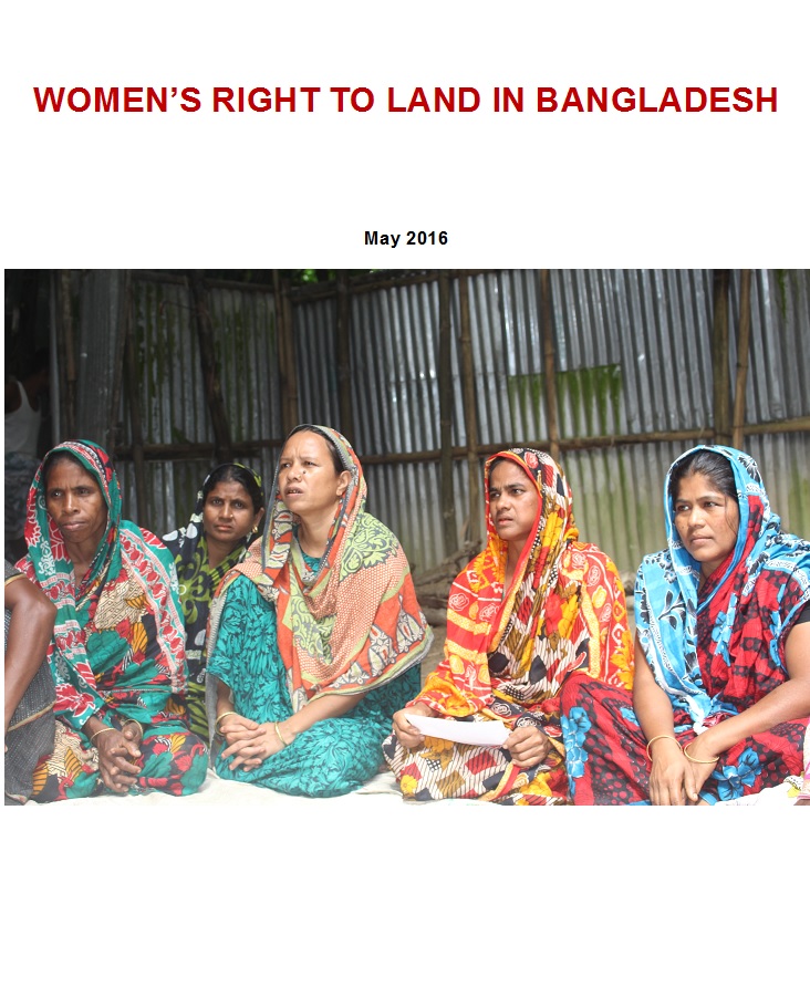
WOMEN’S RIGHT TO LAND IN BANGLADESH

Reports & Research
Abril, 2016
Bangladesh

It has been frequently argued that women’s access to and control over land can potentially lead to greater gender equitability alongside addressing material deprivation. Gender equality today is considered one of the crucial premises for economic and social development as well as women’s empowerment as recognized in the MDGs and SDGs.

Workshop report on Baseline survey_Land project_Uttaran

Reports & Research
Novembro, 2013
Bangladesh

Uttaran is the pioneer leading national non-government to promote rights for landless people of Bangladesh since 1985. Uttaran recently implementing a project namely Sustainable Access to Land Equality (SALE) in association with Department of Land Records and Survey under Ministry of Land in Bangladesh with funding support of European Union. Baseline survey to know the existing scenario of the working area, particularly the vulnerability of land owners during digital survey and settlement.

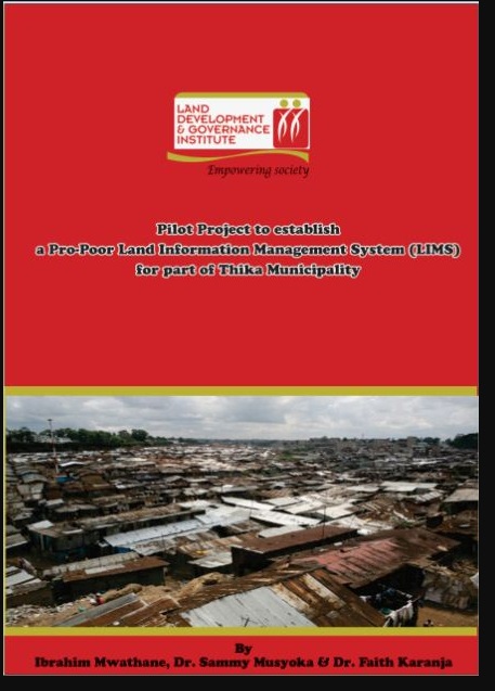
Pilot Project to establish a Pro-Poor Land Information Management System (LIMS) for part of Thika Municipality

Journal Articles & Books
Reports & Research
Maio, 2012
Quênia

According to 2001 statistics, 924 million people, almost one third of the world’s population lived in slums. A majority of these people are in the developing countries and they account for 43% of the urban population. Slums are characterized by a dense proliferation of small, makeshift shelters built from diverse materials, degradation of the local ecosystem and by severe social problems.

Large Scale Land Acquisitions for Investment in Kenya

Journal Articles & Books
Reports & Research
Novembro, 2016
Quênia

Land acquisitions, either driven by foreign investments or domestic investment needs have continued to polarize opinions. When this research was proposed, it was premised on arguments by scholars Ruth Meinzen-Dick and Helen Markelova, who had analysed agricultural land deals, and argued that there were potentially two schools of thought about foreign acquisitions over agricultural land.

LDGI Survey

Journal Articles & Books
Reports & Research
Janeiro, 2016
Quênia

Public land is a resource that should be effectively managed in the public’s best interest in line with provisions of the Constitutions of Kenya and the Land Act. The management framework governing land use and development decisions on public land should ensure protection and sustainable management of the land. Despite these provisions in law, recent media reports point toresurgenceof public land grab. The Land Development and Governance Institute commissioned this research study to establish the status of the public land management in Kenya.

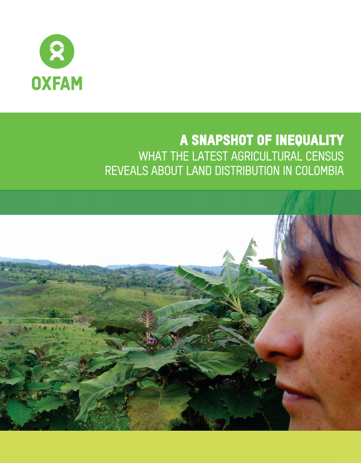
A Snapshot of Inequality

Reports & Research
Abril, 2017
Colômbia

This report first reviews how inequality in land distribution has reached extreme levels in Colombia. Then  it  analyzes  the  problem  of concentration of land from different perspectives and indicators based on the agricultural census data from 2016, focusing on the major differences between the extremes.


Radiografía de la desigualdad

Reports & Research
Abril, 2017
Colômbia

Luego de 45 años, en Colombia se realizó un nuevo Censo Agropecuario en 2014, cuyos resultados fueron publicados en varias entregas parciales. A finales de 2016, el Departamento Administrativo Nacional de Estadística (DANE) entregó los microdatos completos del censo.