page search

IssuesassessmentLandLibrary Resource
Displaying 49 - 60 of 731

Ecosystem Service Changes and Livelihood Impacts in the Maguri-Motapung Wetlands of Assam, India

Peer-reviewed publication
June, 2016

Wetlands provide a diverse range of ecosystem services supporting livelihoods of many people. Despite their value, wetlands are continuously being degraded. There is scant information on individual wetlands, people’s dependency and their exploitation at a local scale. We therefore assessed wetland ecosystem services, the drivers of change and impacts of those drivers on ecosystem services and people’s dependency through a case study of the Maguri-Motapung Beel wetlands of Assam, India.

Assessing the Quality of Agricultural Landscape Change with Multiple Dimensions

Peer-reviewed publication
September, 2014

Better recognition of public perceptions is called for in developing policies that affect landscape qualities, such as agri-environmental policies. The present study focused on the evaluation of typical agricultural landscapes in Finland. We utilized and operationalized the visual landscape quality scales introduced by Tveit et al. (2006) and further explored how these scales can be applied in citizen evaluation of agricultural landscapes.

Monitoring 60 Years of Land Cover Change in the Marathon Area, Greece

Peer-reviewed publication
June, 2015
Greece

This study deals with the landscape evolution reflected in the changes of land cover in the suburban area of Marathon, Attica, Greece. The study was based on remote sensing images covering the time period between 1945 and 2007. Several other types of data were also used, such as a digital terrain model, historical orthophotos, vegetation maps, geological maps, cadastral maps and aerial photos.

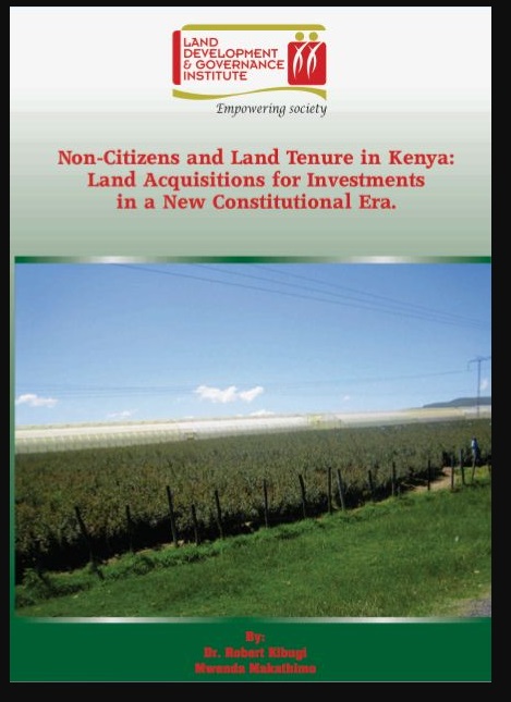
Non-Citizens and Land Tenure in Kenya: Land Acquisition for Investment in a New Constitutional Era

Journal Articles & Books
Reports & Research
June, 2012
Kenya

The acquisition of land by foreigners in developing countries has emerged as a key mechanism for foreign direct investment (FDI). FDI is defined by the Organization for Economic Cooperation and Development (OECD) as the category of international investment that reflects the objective of a resident entity in one economy to obtain a lasting interest in an enterprise resident in another economy.

ADVANTAGES OF THE DEVICE LANDSCAPE-ECOLOGICAL SYSTEMS OF THE IRRIGATED LANDS OF THE VOLGOGRAD REGION

Journal Articles & Books
December, 2013

Introduction organization of landscape-экологиесого land in areas with a focus on their microclimatic features and common soil types.

Внедрение организации ландшафтно-экологического землеустройства в районах области с ориентацией на их микроклиматические особенности и распространенные почвенные виды.

Quantifying sample biases of inland lake sampling programs in relation to lake surface area and land use/cover

Journal Articles & Books
December, 2008
United States of America

We quantified potential biases associated with lakes monitored using non-probability based sampling by six state agencies in the USA (Michigan, Wisconsin, Iowa, Ohio, Maine, and New Hampshire). To identify biases, we compared state-monitored lakes to a census population of lakes derived from the National Hydrography Dataset. We then estimated the probability of lakes being sampled using generalized linear mixed models.

Land desertification monitoring and assessment in Yulin of Northwest China using remote sensing and geographic information systems (GIS)

Journal Articles & Books
December, 2008

The objective of this study is to develop techniques for assessing and analysing land desertification in Yulin of Northwest China, as a typical monitoring region through the use of remotely sensed data and geographic information systems (GIS). The methodology included the use of Landsat TM data from 1987, 1996 and 2006, supplemented by aerial photos in 1960, topographic maps, field work and use of other existing data.

Une démarche pour négocier les décisions relatives à l'aménagement des territoires et à la gestion de l'environnement

Journal Articles & Books
December, 1997

A way of negotiation for decisions about land use planning and environmental management."Gond thinking" in matters of environmental management and land use planning requires an appropriate mix of the integrative approach of decision makers and of the analytical approach of scientiste. This gond thinking should also meet the challenges of negotiation between institutions, enterprises and pressure groupe which all claim the statue of peers.

Evaluation of indicators of cadastral assessment

Conference Papers & Reports
December, 2013
Latvia

To justify the importance of the indicators affecting the cadastral value, surveys were carried out, by help of which opinions of different respondent groups were summarized. The interviewed respondent groups were real property specialists of municipalities and experts. The thematic blocks of the questions included in the questionnaires are designed with the aim to clarify the quality of the indicators of cadastral assessment models, as well as their significance.

Database for Inventory, Monitoring, and Assessment (DIMA)

Journal Articles & Books
December, 2011

Land managers increasingly need to collect, store, and analyze monitoring and assessment datasets that include multiple methods and occur over multiple years. The Database for Inventory,Monitoring and Assessment (DIMA) is a highly customizable software tool for data collection, management, and interpretation. DIMA is a free Microsoft Access database that can be used easily without extensive knowledge of Access (download DIMA from http://jornada.nmsu.edu/monit-assess/dima/download).