Resource information
If you cannot view, click here.Guest commentary by Christopher Seeley, Chief of Party of the USAID Honduras ProParque project.
One of the most vexing challenges in biodiversity conservation in developing countries is reconciling land tenure and land use issues that emerge when previously unprotected or unregulated ecosystems are placed under state control as part of a national protected areas system.
Communities and resources that were once unencumbered by land use policies and regulations—for better or worse—are placed under a new paradigm with the stroke of a pen. New national protected area boundaries are often created with altruistic conservation objectives, but with little local stakeholder input. These boundaries define, and in many cases, constrain local household livelihood options, place restrictions on the ability of existing communities to access traditionally available and locally controlled natural resources, and legally exclude communities from social and economic development opportunities that communities outside of these “special areas” have a right to pursue.
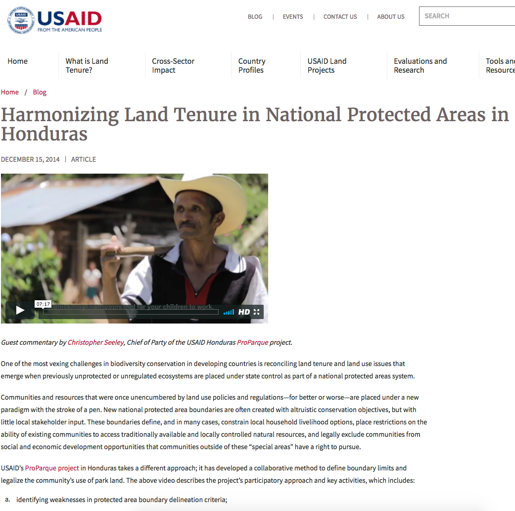
USAID’s ProParque project in Honduras takes a different approach; it has developed a collaborative method to define boundary limits and legalize the community’s use of park land. The above video describes the project’s participatory approach and key activities, which includes:
identifying weaknesses in protected area boundary delineation criteria;
replacing inadequate criteria with groupings that more holistically optimized social, cultural, economic and biodiversity/natural resource management conservation parameters;
forming inclusive working groups comprised of community participants, protected area managers, municipal leaders and government representatives, to analyze the land tenure and land use implications of the new boundary delineation criteria;
defining community and protected area boundaries with cadastral and legal precision using the agreed upon criteria; and
providing legal protection and transparency for all parties through land and usufruct titling.
The Census, Mapping and Land Regularization approach (“Censo, Medición y Regularización de Tierras” in Spanish) developed under ProParque was first piloted in Western Honduras, in the Celaque National Park. Created in 1987, during a “boom” of national park decrees, the core zone of the park (a cloud forest containing the headwaters of nine rivers) was created in the home territories of numerous indigenous Lenca communities. These communities faced a near total prohibition on resource utilization and were denied access to most government-sponsored social and economic development initiatives. The park was an ideal pilot site for the new approach given the magnitude of the affected population (several hundred households), the sensitivity of their location (deep within the core protected area), and the willingness of both the communities and local leaders to resolve the long-standing conundrum.
The pilot was completed in two phases over eighteen months, financed by the ProParque Small Grants Fund and implemented by the park’s co-management organization MAPANCE. The first phase consisted of community engagement and the creation of a comprehensive census that provided an in-depth portrait of each community’s livelihood assets and on-the-ground reality, and cadastral work at a level of detail adequate for land and usufruct title purposes. The second phase began with a secondary round of community and governmental dialogue to resolve any differences of opinion or position regarding the results of the census and land mapping work.
There have been two important results to date. First, the Government of Honduras has adopted the approach as the standard for resolving land use conflicts and boundary delineation within the national protected areas system. As part of a wider strategy for the rationalization of Honduras’ overly complex protected areas system of categorization, the approach is now being applied to five additional parks.
Second, significant impacts at the initial pilot site in Celaque National Park have been observed. Four hundred and fifty-three families in eight communities have been granted legal title to their lands and usufruct rights to related resources, the core protected area of the park has been redefined using priority conservation target criteria, and the adoption of collaboratively defined zoning for the park is paving the way for a wide variety of initiatives—including carbon- and water-based payment for environmental services agreements, public-private ecotourism partnerships, and the expanded adoption of environmentally friendly coffee certifications by smallholders.
The “Censo, Medición y Regularización de Tierras” approach adopted by ProParque addresses the natural conflict that exists between allowing communities to access natural resources and protecting biodiversity. As a result, the project aligns with USAID’s development objectives related to biodiversity and global climate change. This participatory effort, which engages with communities from the outset and actively seeks mutually beneficial solutions, provides a strong model for future programming in these important sectors.
Read more about USAID's ProParque project.


