page search

Issuesurban areasLandLibrary Resource
Displaying 2137 - 2148 of 3133

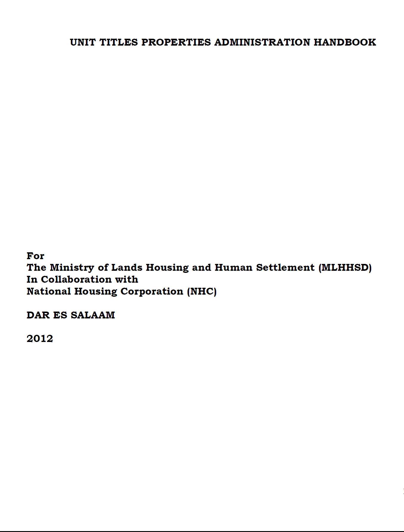
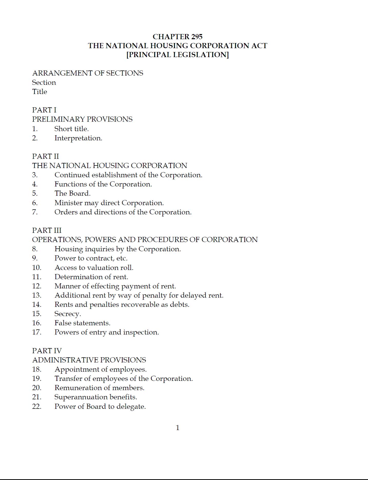
Unit Title Properties Administration Handbook

Reports & Research
November, 2012
Tanzania

This Handbook is a simplified tool for easy operationalization of the Unit Titles Act and the accompanying laws. The Handbook has been divided into six substantive chapters that summarises the required processes, documents and output. The first chapter provides for the essential terminologies in Unit Title Properties and their manner of application. This part has been supplemented by corresponding glossary of the end of chapter six. 

Analysis of Urban Green Spaces Based on Sentinel-2A: Case Studies from Slovakia

Peer-reviewed publication
June, 2017
Slovakia

Urban expansion and its ecological footprint increases globally at an unprecedented scale and consequently, the importance of urban greenery assessment grows. The diversity and quality of urban green spaces (UGS) and human well-being are tightly linked, and UGS provide a wide range of ecosystem services (e.g., urban heat mitigation, stormwater infiltration, food security, physical recreation).

Agricultural Land Fragmentation at Urban Fringes: An Application of Urban-To-Rural Gradient Analysis in Adelaide

Peer-reviewed publication
June, 2017

One of the major consequences of expansive urban growth is the degradation and loss of productive agricultural land and agroecosystem functions. Four landscape metrics—Percentage of Land (PLAND), Mean Parcel Size (MPS), Parcel Density (PD), and Modified Simpson’s Diversity Index (MSDI)—were calculated for 1 km × 1 km cells along three 50 km-long transects that extend out from the Adelaide CBD, in order to analyze variations in landscape structures. Each transect has different land uses beyond the built-up area, and they differ in topography, soils, and rates of urban expansion.

Mapping Urban Transitions Using Multi-Temporal Landsat and DMSP-OLS Night-Time Lights Imagery of the Red River Delta in Vietnam

Peer-reviewed publication
March, 2014
Vietnam

The urban transition that has emerged over the past quarter century poses new challenges for mapping land cover/land use change (LCLUC). The growing archives of imagery from various earth-observing satellites have stimulated the development of innovative methods for change detection in long-term time series. We tested two different multi-temporal remote sensing datasets and techniques for mapping the urban transition.

Factors Influencing Perceptions and Use of Urban Nature: Surveys of Park Visitors in Delhi

Peer-reviewed publication
June, 2017

Urban green spaces provide important recreational, social and psychological benefits to stressed city residents. This paper aims to understand the importance of parks for visitors. We focus on Delhi, the world’s second most populous city, drawing on 123 interviews with park visitors in four prominent city parks. Almost all respondents expressed the need for more green spaces. Visitors valued parks primarily for environmental and psychological/health benefits.

Modeling Future Urban Sprawl and Landscape Change in the Laguna de Bay Area, Philippines

Peer-reviewed publication
June, 2017

This study uses a spatially-explicit land-use/land-cover (LULC) modeling approach to model and map the future (2016–2030) LULC of the area surrounding the Laguna de Bay of Philippines under three different scenarios: ‘business-as-usual’, ‘compact development’, and ‘high sprawl’ scenarios. The Laguna de Bay is the largest lake in the Philippines and an important natural resource for the population in/around Metro Manila.

What Makes Green Cities Unique? Examining the Economic and Political Characteristics of the Grey-to-Green Continuum

Peer-reviewed publication
March, 2014

In the United States, urbanization processes have resulted in a large variety—or “continuum”—of urban landscapes. One entry point for understanding the variety of landscape characteristics associated with different forms of urbanization is through a characterization of vegetative (green) land covers. Green land covers—i.e., lawns, parks, forests—have been shown to have a variety of both positive and negative impacts on human and environmental outcomes—ranging from increasing property values, to mitigating urban heat islands, to increasing water use for outdoor watering purposes.

Calibrating and Validating a Simulation Model to Identify Drivers of Urban Land Cover Change in the Baltimore, MD Metropolitan Region

Peer-reviewed publication
September, 2014

We build upon much of the accumulated knowledge of the widely used SLEUTH urban land change model and offer advances. First, we use SLEUTH’s exclusion/attraction layer to identify and test different urban land cover change drivers; second, we leverage SLEUTH’s self-modification capability to incorporate a demographic model; and third, we develop a validation procedure to quantify the influence of land cover change drivers and assess uncertainty.

Urban Growth Dynamics in Perth, Western Australia: Using Applied Remote Sensing for Sustainable Future Planning

Peer-reviewed publication
March, 2017

Earth observation data can provide valuable assessments for monitoring the spatial extent of (un)sustainable urban growth of the world’s cities to better inform planning policy in reducing associated economic, social and environmental costs. Western Australia has witnessed rapid economic expansion since the turn of the century founded upon extensive natural resource extraction. Thus, Perth, the state capital of Western Australia, has encountered significant population and urban growth in response to the booming state economy.