Aller au contenu principal

page search

Displaying 277 - 288 of 300

Il crowdfunding finalizzato al co-finanziamento di progetti di valorizzazione di complessi di elevato valore storico architettonico: il caso di “Torino Esposizioni”

Peer-reviewed publication
Décembre, 2015
Italie

L’articolo affronta il tema del finanziamento degli interventi di restauro e riuso delle grandi architetture del ‘900, in un momento storico in cui le risorse finanziarie pubbliche sono sempre più scarse e difficili da reperire. La ricerca affronta la possibilità di ricorrere al crowdfunding attraverso il caso studio del progetto di “Torino Esposizioni”, un’architettura del ‘900, parzialmente utilizzata, in stato di degrado, nonostante sia riconosciuta dalla critica internazionale come un’opera di eccezionale valore.

Il progetto “iVincoli” del Politecnico di Torino. Aspetti di innovazione tecnologica e digitale a supporto del processo di riforma della Pubblica Amministrazione

Peer-reviewed publication
Décembre, 2011
Italie

Nello scritto si illustra l’esperienza condotta dal Politecnico di Torino nel 2007 - su istanza della Direzione Regionale per i Beni Culturali e Paesaggistici del Piemonte - denominata “Progetto
iVincoli” (2007-2008): l’esito, nella sua versione prototipale, è la configurazione e realizzazione di una piattaforma tecnologica predisposta per la definizione di linee-guida destinate al monitoraggio e alla pubblicazione on line delle attività vincolistiche.

PRIORITY DIRECTIONS OF PROVISION OF STABLE LAND USE

Peer-reviewed publication
Octobre, 2016

The conditions of stable land use are highlighted in this article. The question
of the territory of agricultural enterprises is considered as well. The characteristic
of the type of land use is given here. The recommendations are shown on the formation
of ecologically safe types of land use. In the terms of new land relations is important to
resolve the issue of land use regulation to with stand landscapes against adverse natural
and anthropogenic influences. The main instrument of the state, which aims

A value creation tool in the sustainable building field: the LEED certification®

Peer-reviewed publication
Juin, 2014
Italie

This paper seeks to outline the key aspects of sustainability in the built environment by focusing attention on the LEED® certification system as a “universal” instrument to support the implementation,
management and evaluation of sustainable buildings.
The first part of the paper describes the rapid spread of the LEED certification in recent years as a direct consequence of the capacity of this instrument rating to adapt to specific types of buildings as well as to different climatic conditions and morphological features of the sites.

DIRECTIONS FOR THE RECOVERY OF AGRICULTURAL PRODUCTION ON RADIOACTIVELY CONTAMINATED LANDS

Peer-reviewed publication
Mai, 2016

Effective management of agricultural production in the Polesie Ukraine traditionally was complicated through the low natural land fertility, their high acidity, perevolotsky valley. During the centrally planned economic system that the natural contrast of the Polesie land had been somewhat neglected by the state through differentiation of purchase prices for agricultural products, which gave the possibility of redistribution of the rent in favor of the farms with poorer land.

STATE AND PROBLEMS TRAINING, ADVANCED TRAINING AND RETRAINING IN THE FIELD OF LAND PLANNING

Peer-reviewed publication
Mai, 2016
Ukraine

Scientific and technological progress and improve land relations, land use and organization of work makes the need for systematic improvement of forms and methods of preparation, training and retraining in the land. Training in the land - is the formation of staff knowledge and skills in a particular professional field, that training people who want to get a profession in the field of land relations and the use and protection of land and other natural resources.

Land Change in the Greater Antilles between 2001 and 2010

Journal Articles & Books
Juillet, 2017
Jamaïque
Porto Rico
Cuba
Haïti
République dominicaine

Land change in the Greater Antilles differs markedly among countries because of varying socioeconomic histories and global influences. We assessed land change between 2001 and 2010 in municipalities (second administrative units) of Cuba, Dominican Republic, Haiti, Jamaica, and Puerto Rico. Our analysis used annual land-use/land-cover maps derived from MODIS satellite imagery to model linear change in woody vegetation, mixed-woody/plantations and agriculture/herbaceous vegetation. Using this approach, we focused on municipalities with significant change (p ? 0.05).

Indigenous Soil Classifications: What are their structure and function, and how do they compare with scientific soil classifications?

Décembre, 1993

Focuses on two themes in the study of ethnopedology: (1) the hows and whys of indigenous soil classifications. (2) the differences and overlaps between indigenous soil classifications and western soil classifications. Aims to come to a synthesis of how to link the two sources of information to improve the success of cooperation in sustainable agricultural development.

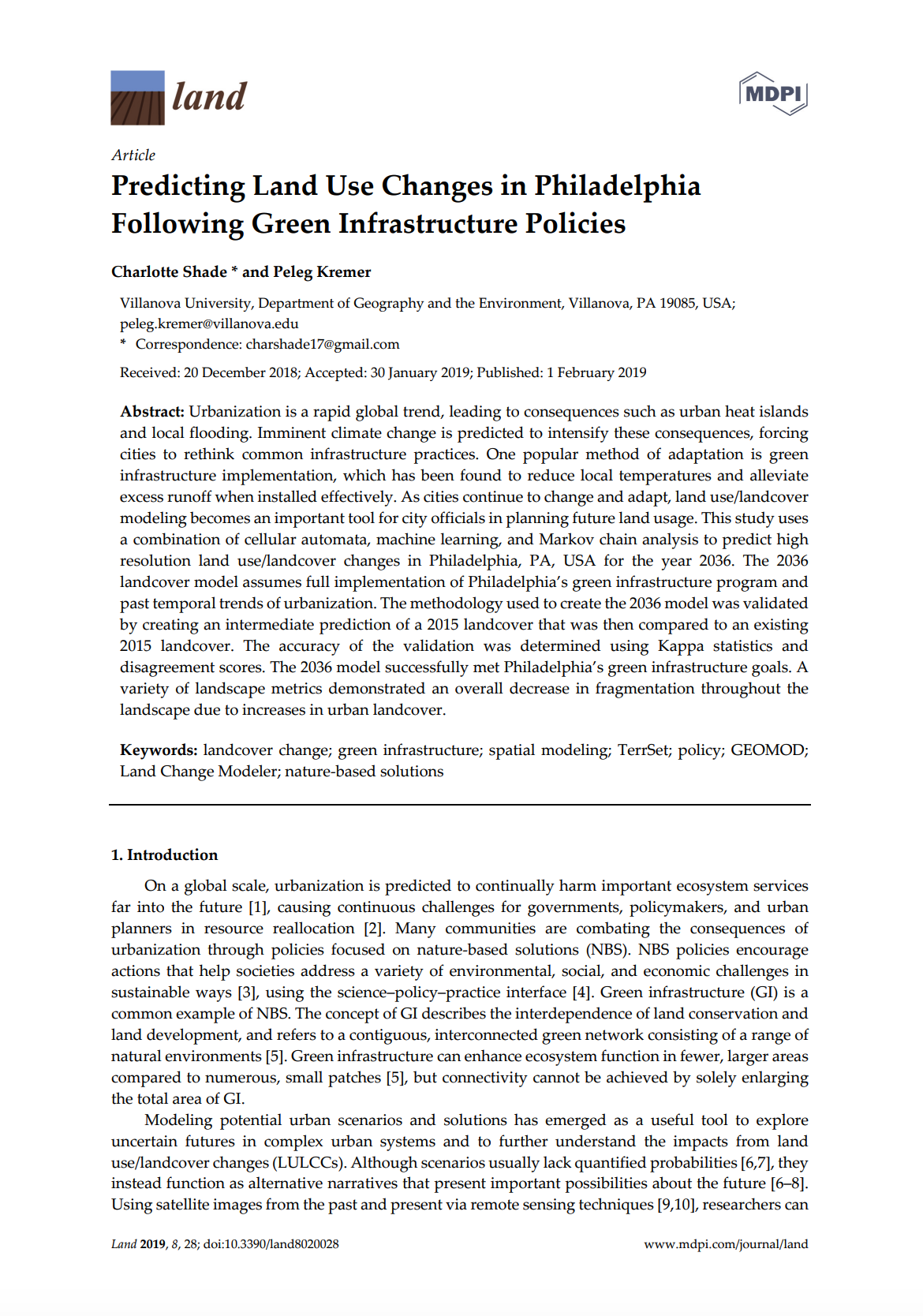
Predicting Land Use Changes in Philadelphia Following Green Infrastructure Policies

Peer-reviewed publication
Janvier, 2019
États-Unis d'Amérique

Urbanization is a rapid global trend, leading to consequences such as urban heat islands and local flooding. Imminent climate change is predicted to intensify these consequences, forcing cities to rethink common infrastructure practices. One popular method of adaptation is green infrastructure implementation, which has been found to reduce local temperatures and alleviate excess runoff when installed effectively. As cities continue to change and adapt, land use/landcover modeling becomes an important tool for city officials in planning future land usage.

Analyses of Land Cover Change Trajectories Leading to Tropical Forest Loss: Illustrated for the West Kutai and Mahakam Ulu Districts, East Kalimantan, Indonesia

Peer-reviewed publication
Septembre, 2018
Indonésie

In Indonesia, land cover change for agriculture and mining is threatening tropical forests, biodiversity and ecosystem services. However, land cover change is highly dynamic and complex and varies over time and space. In this study, we combined Landsat-based land cover (change) mapping, pixel-to-pixel cross tabulations and expert knowledge to analyze land cover change and forest loss in the West Kutai and Mahakam Ulu districts in East Kalimantan from 1990–2009.