Pasar al contenido principal

page search

IssuesLímiteLandLibrary Resource
Displaying 1 - 12 of 31

Límites a la propiedad de la tierra: Antecedentes legales

Journal Articles & Books
Agosto, 2010
Perú

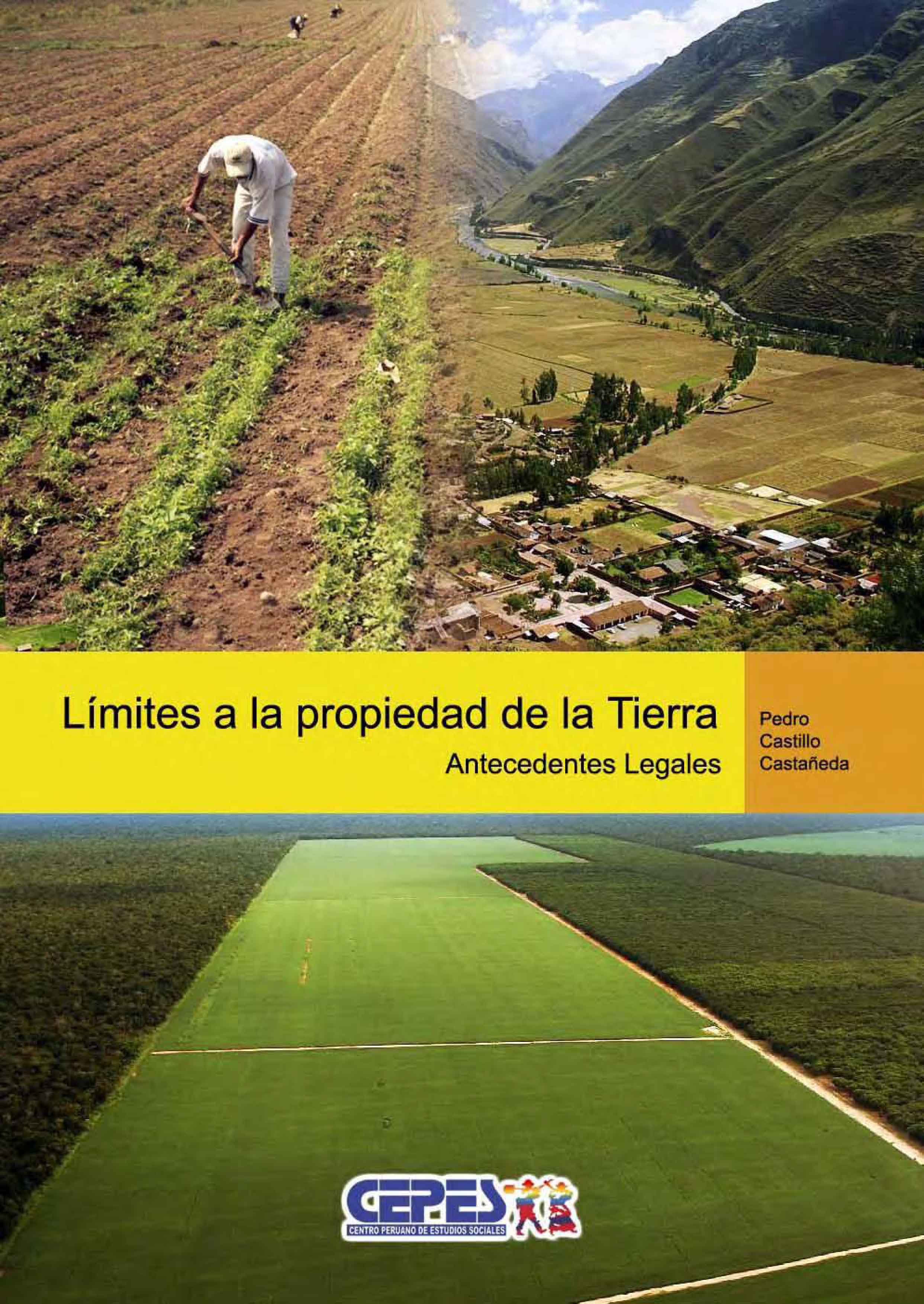
El tema de los límites a la propiedad, o más precisamente del establecimiento a través de la ley de límites máximos a la propiedad de la tierra agrícola ha retomado actualidad en los últimos meses en el Perú. A la fecha se han presentado hasta tres propuestas legislativas al respecto, no obstante es necesario revisar algunos antecedentes antes de pasar a las propuestas mismas.

USAID Report on Land Tenure & Cocoa Production in Ghana

Reports & Research
Marzo, 2017
Ghana

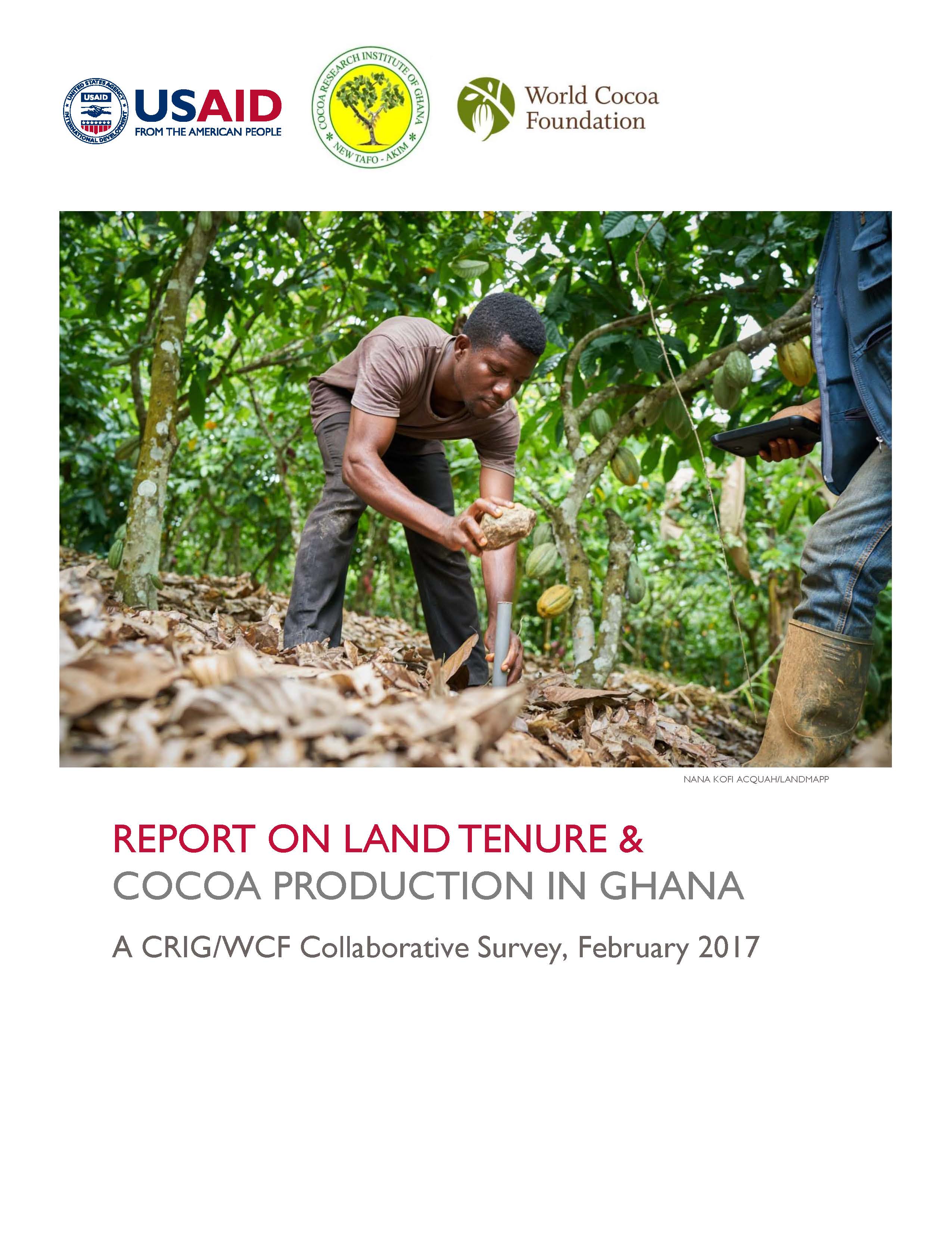
The Cocoa Research Institute of Ghana (CRIG), with support from the World Cocoa Foundation (WCF) the United States Agency for International Development (USAID), performed the Ghana Land Tenure Baseline Survey, the first of its kind survey of tenure rights among cocoa farmers in Ghana. CRIG surveyed almost 1,800 cocoa farmers operating 3,900 cocoa plots regarding various land tenure issues within customary sharecropping arrangements and on owner-managed land. This report describes the findings from the Survey.

“Nothing Is Like It Was Before”: The Dynamics between Land-Use and Land-Cover, and Livelihood Strategies in the Northern Vietnam Borderlands

Peer-reviewed publication
Diciembre, 2015

Land uses are changing rapidly in Vietnam’s upland northern borderlands. Regional development platforms such as the Greater Mekong Subregion, state-propelled market integration and reforestation programs, and lowland entrepreneurs and migrants are all impacting this frontier landscape. Drawing on a mixed methods approach using remote sensing data from 2000 to 2009 and ethnographic fieldwork, we examine how land-use and land-cover change (LULCC) has occurred across three borderland provinces—Lai Châu, Lào Cai and Hà Giang—with high proportions of ethnic minority semi-subsistence farmers.

Historical Landscape Perspectives on Grasslands in Sweden and the Baltic Region

Peer-reviewed publication
Marzo, 2014

A landscape perspective is generally recognized as essential for conservation biology. The main underlying reason is that species respond to features of the landscape at various spatial scales, for example habitat area, connectivity, and matrix habitats. However, there is also an “historical” component of a landscape perspective, which has not received similar attention. The underlying reasons for historical effects are that humans have influenced landscapes during several millennia and that species and communities may respond slowly to land use change.

Uncovering Dominant Land-Cover Patterns of Quebec: Representative Landscapes, Spatial Clusters, and Fences

Peer-reviewed publication
Diciembre, 2013

Mapping large areas for planning and conservation is a challenge undergoing rapid transformation. For centuries, the creation of broad-extent maps was the near-exclusive domain of expert specialist cartographers, who painstakingly delineated regions of relative homogeneity with respect to a given set of criteria. In the satellite era, it has become possible to rapidly create and update categorizations of Earth’s surface with improved speed and flexibility. Land cover datasets and landscape metrics offer a vast set of information for viewing and quantifying land cover across large areas.

Digital land Survey and Settlement in Bangladesh

Training Resources & Tools
Mayo, 2015
Bangladesh

Utaran began work on the Sustainable Access to Land Equality (SALE) project to ensure transparency and accountability in land governance in December 2012, in partnership with CARE Internaional UK and Manusher Jonno Foundaion (MJF). The project engaged communiies in three pilot upazilas - Amtali Upazila of Barguna District, Mohanpur of Rajshahi, and Sadar of Jamalpur-to raise the awareness of vulnerable landowners about land administraion, and to effect transparent processes for selecing landless people and for khasland setlement.

LDGI Survey

Journal Articles & Books
Reports & Research
Enero, 2016
Kenya

Public land is a resource that should be effectively managed in the public’s best interest in line with provisions of the Constitutions of Kenya and the Land Act. The management framework governing land use and development decisions on public land should ensure protection and sustainable management of the land. Despite these provisions in law, recent media reports point toresurgenceof public land grab. The Land Development and Governance Institute commissioned this research study to establish the status of the public land management in Kenya.

The County Governments Act, 2012

Legislation & Policies
Octubre, 2012
Kenya

COUNTY GOVERNMENTS ACT NO. 17 OF 2012

Date of assent: 24th July, 2012.

Date of commencement: See Section 1.

An Act of Parliament to give effect to Chapter Eleven of the Constitution; to provide for county governments' powers, functions and responsibilities to deliver services and for connected purpose

DEVELOPMENT AND IMPLEMENTATION OF THE LAND MANAGEMENT SYSTEM: AN IMPETUS OR A DETERRENT TO EFFECTIVE AND EFFICIENT LAND MANAGEMENT IN KENYA?

Journal Articles & Books
Febrero, 2016
Kenya

A Land Information Management System (LIMS) is an information system that enables the capture, management, and analysis of geographically referenced land-related data in order to produce land information for decision-making in land administration and management. The system is a Geospatial Information System (GIS) driven for the purposes of handling and managing parcel based information. The Republic of Kenya, located in East Africa, ranks 33rd in the world in terms of population with 38.6 million people and has a land area of 224,081 square miles.

NATIONAL LAND USE POLICY

Manuals & Guidelines
Abril, 2016
Kenya

The absence of a clearly defined land use policy in Kenya after years of independence has resulted in a haphazard approach to managing the different land use practices and policy responses. Land use continues to be addressed through many uncoordinated legal and policy frameworks that have done little to unravel the many issues that affect land use management. The Constitution of Kenya 2010, Kenya Vision 2030 and the Sessional Paper No. 3 of 2009 on National Land Policy all call for a clear framework for effectively addressing the challenges related to land use.

The role of traditional institution in managing Ife-Modakeke conflict

Peer-reviewed publication
Noviembre, 2016
Nigeria

The conflict between the Ife and Modakeke appears to be a protracted and seemingly intractable intra-ethnic conflict that has continued to pit two groups of the same ethnic background against one another. This study, therefore examined the role of traditional institution in managing Ife-Modakeke conflict. The study found that the major causes of the conflict between Ife and Modakeke group include land issues, Ife-East Local Government, debate over Modakeke’s sovereignty, boundary disagreement etc.