Ratio of land consumption rate to population growth rate
Last updated on 1 February 2022
This indicator is currently classified as Tier II. The United Nations Human Settlements Programme (UN-Habitat).
Unit of measure: The unitless indicator is measured as a ratio of the consumption rate (%) and population growth rate (%).
Why is this indicator important?
Urban areas are expected to grow considerably in the coming years. Many cities around the world have vast urban expansion plans. Urban sprawl can increase CO2 emissions and pose a threat to people and the planet. High rates of urban densification without adequate provision of infrastructure also results in diverse urban challenges. Urban expansion needs to be done efficiently and inclusively to ensure sustainable land use and management.
This indicator allows decision makers to track and manage urban growth and therefore allows them to promote land use efficiency in this context. In sum, it ensures that the SDGs adequately address the wider dimensions of space and land and provides a foundation for achieving other sustainable development goals, including those pertaining to health, food security, energy and climate change.
How is the indicator measured and monitored?
Several sources of information are required for the indicator computation, including multi-temporal satellite imagery through remote sensing and geospatial analysis processes as well as population data from censuses and surveys. Data for developed urban land is usually available from the urban planning units of cities and, where lacking, can be generated from openly and freely available satellite imagery.
Within the defined city/ urban area boundaries, the changes in built up areas over time are used to estimate the land consumption rate. The use of this measure accounts for aspects such as “newly developed”, "partially developed” and/or “redeveloped” land. According to the metadata document, defining the city or urban area poses a challenge since quite often land consumption through urbanization processes happen outside official municipality boundaries. The interpretation of the results is limited in cases with negative or zero growth. In addition, multiple city aggregations may lead to wrong interpretations.
By Anne Hennings, peer-reviewed by Dennis Mwaniki, Spatial Data Expert at UN-Habitat’s Data and Analytics Unit.
Other related indicators on Land Portal
In addition to the official indicator data, the following indicators provide information on urban expansion and related land use planning questions.
| Indicator | Min-Max Number of years |
Countries / Obs | Min / Max Value |
|---|---|---|---|
| Land use planning guides expansion in other cities | |||
| Land use planning guides expansion in the largest city | |||
| Population growth | |||
| Process for urban expansion clear, public, respects rights | |||
| Urban Population |
100 Mayors adopt Seoul Declaration for sustainable cities
Together with ICLEI President Park Wonsoon (Mayor of Seoul), ICLEI First Vice President James Nxumalo (Mayor of Durban) and ICLEI Secretary General Gino Van Begin, 100 mayors from around the world were onstage at today´s ICLEI World Congress 2015 Opening Plenary to adopt the Seoul Declaration.
High-Level Political Forum 2019 (HLPF)
The High-level Political Forum, United Nations central platform for follow-up and review of the 2030 Agenda for Sustainable Development and the Sustainable Development Goals, provides for the full and effective participation of all States Members of the United Nations and States members of specialized agencies.
Using Technology to Plan for Africa’s Urban Expansion
By Sarah Logan and Mallory Baxter
African cities are rapidly expanding as the number of urban residents rises due to rural-urban migration and population growth. Ad hoc urban expansion contributes to an increase in unplanned settlements, urban poverty and inequality, and constraints on new residents, who are attempting to secure access to adequate housing, property rights, employment, and basic services.
Pagination
Analysis of Urban Green Spaces Based on Sentinel-2A: Case Studies from Slovakia
Urban expansion and its ecological footprint increases globally at an unprecedented scale and consequently, the importance of urban greenery assessment grows. The diversity and quality of urban green spaces (UGS) and human well-being are tightly linked, and UGS provide a wide range of ecosystem services (e.g., urban heat mitigation, stormwater infiltration, food security, physical recreation).
UN-Habitat - SDG 11.3 Sustainable urbanization
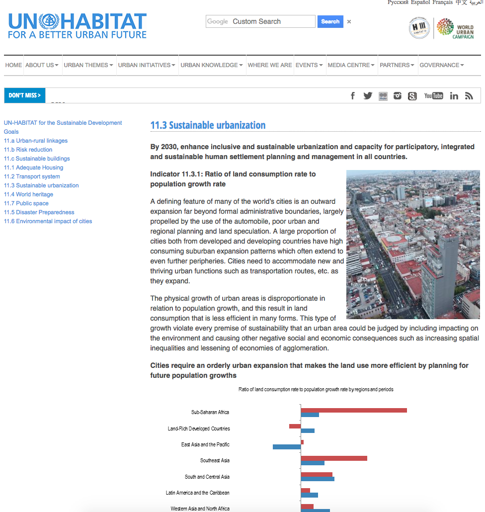
A defining feature of many of the world’s cities is an outward expansion far beyond formal administrative boundaries, largely propelled by the use of the automobile, poor urban and regional planning and land speculation. A large proportion of cities both from developed and developing countries have high consuming suburban expansion patterns which often extend to even further peripheries.
I used to live there
As of 2017, the City of Cape Town offers little support to residents who will become homeless because of eviction, except a one way ticket to a relocation camp on the periphery of the city. Good law led to a clear obligation to provide temporary emergency accommodation but was very poorly implemented.
Urban Growth Dynamics in Perth, Western Australia: Using Applied Remote Sensing for Sustainable Future Planning
Earth observation data can provide valuable assessments for monitoring the spatial extent of (un)sustainable urban growth of the world’s cities to better inform planning policy in reducing associated economic, social and environmental costs. Western Australia has witnessed rapid economic expansion since the turn of the century founded upon extensive natural resource extraction.
Tafelberg
This paper has been compiled by Ndifuna Ukwazi following extensive consultation with practitioners and experts in housing finance, architecture, social housing, city planning, urban design, and local and provincial government.
Pagination
![]()

By 2030, enhance inclusive and sustainable urbanization and capacity for participatory, integrated and sustainable human settlement planning and management in all countries
Indicator details
The indicator is conceptually clear, has an internationally established methodology and standards are available, but data is not regularly produced by countries.
Key dates:


